About Field Workshops
Field Workshops will take place on Wednesday, May 13 and are included in a full conference registration. Field workshops are not included in single day registrations. Lunch and transportation provided for those who register for a Field Workshop. During registration you will be able to PICK ONE Field Workshop to attend. We also have an option to let us know you WILL NOT attend a Field Workshop (please note that lunch is NOT included/offered if you do not attend a Field Workshop).
Times noted for each Field Workshop include traveling to and from the convention center. The start time is when transportation will leave the convention center, and the end time is when attendees are expected back at the convention center. We request attendees to arrive at the transportation pickup area (location will be shared soon) at least 15 minutes before the start time to check in and pick up your box lunch.
Please click on a workshop you'd like to learn more about or scroll down to view all of them!
Space is limited for each workshop and registration is first come, first served.
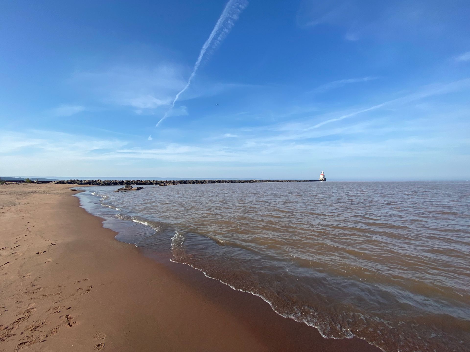
Restoration of Lands and Waters: A Visit to Wisconsin Point and the Lake Superior Estuarium
TIME: 8:00am - 1:00pm
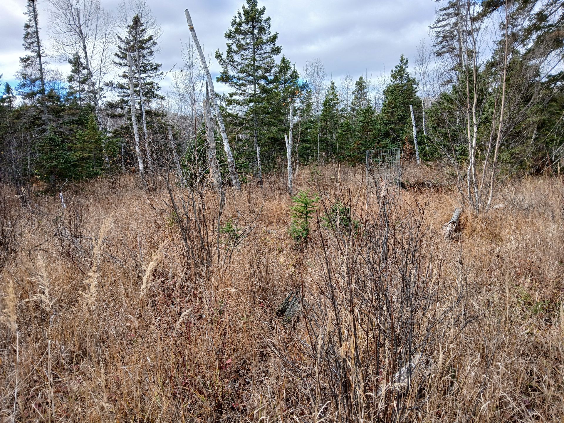
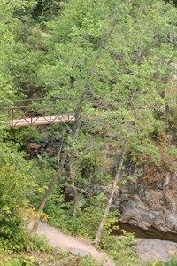
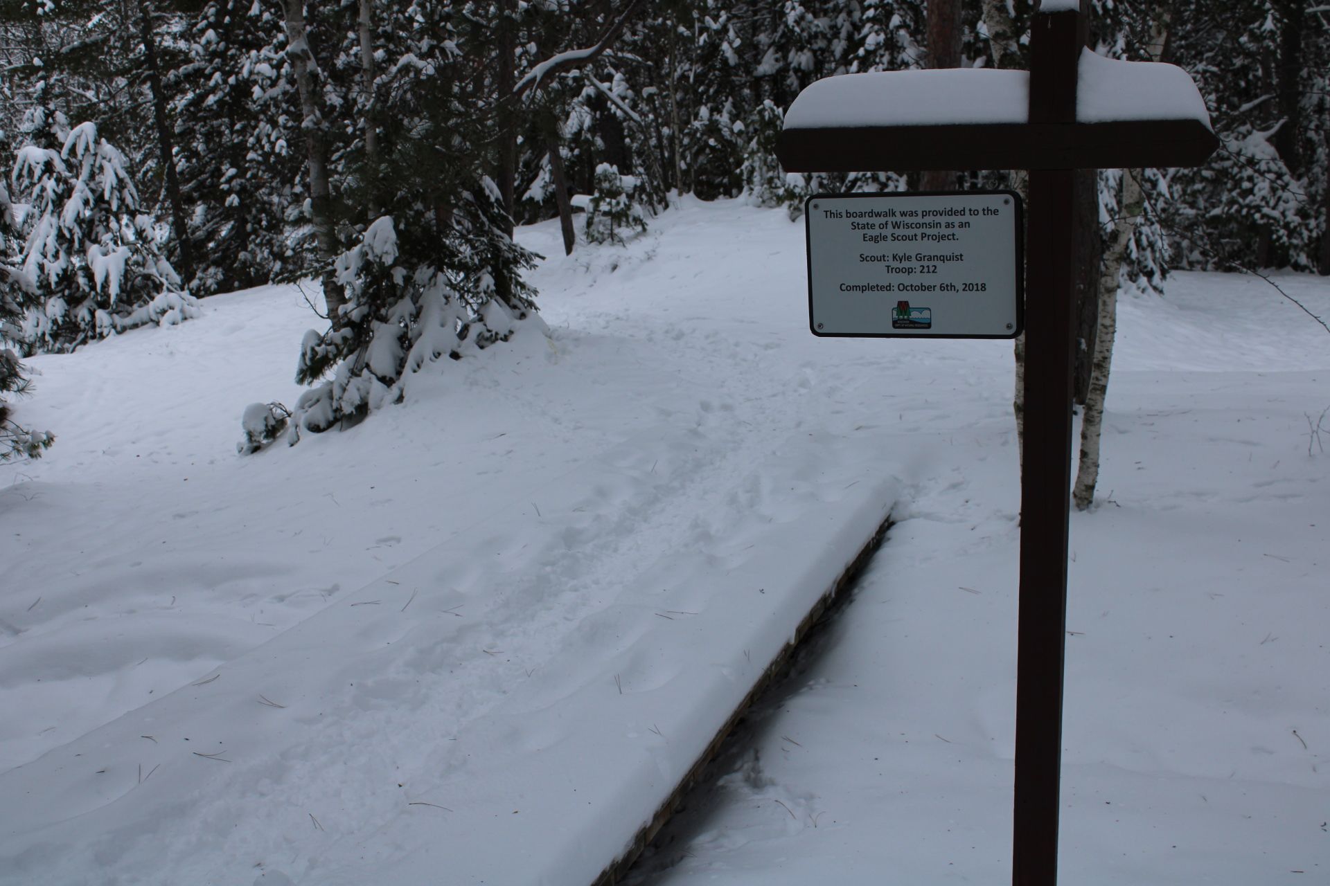
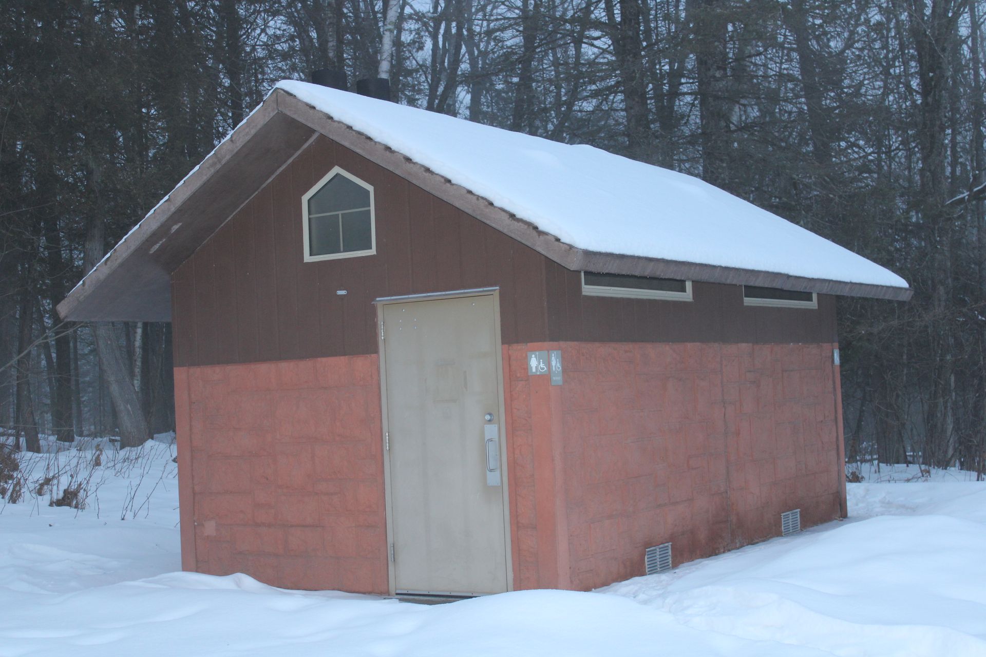
Participants will learn about the history and ecology of Wisconsin Point, which along with Minnesota Point form a 10-mile-long freshwater sandbar, one of the largest in the world. The field trip will begin with a one mile hike along a portion of the Makwa Ziibiins Miikana (Bear Creek Trail), followed by a stop at the end of Wisconsin Point to learn about its ecological and cultural significance. Projects to be covered include extensive restoration work to close social paths and protect sensitive flora and fauna while maintaining public access; wild rice and bird habitat restoration; and efforts to bring back ishkode (Ojibwe word for fire) to the area. The field trip will conclude with a visit to the beautiful Lake Superior Estuarium to hear more from staff of the Lake Superior National Estuarine Research Reserve about the important work that they do in the St. Louis River Estuary. The Makwa Ziibiins Miikana is a compact gravel trail along with a 4 ft wide boardwalk over the marsh. There is minimal elevation change on the trail, but the board does sway a bit when walked on. The boardwalk does not include railings. Wisconsin Point Lots #1 and #5 are paved with accessible restrooms available, and participants can access the beach from Lot #5 via boardwalks and ramps. The Lake Superior Estuarium is also accessible with bathrooms available.
Equipment Included
A track chair is available for those who need it. Email
candace@americantrails.org if you would like to request a track chair.
Things to Bring
None
Accessibility note for attendees with mobility disabilities
The gravel trail should be accessible for anyone in a wheelchair or assisted device. The only thing that may be a bit challenging is the 4 ft wide boardwalk over the marsh on the Bear Creek Trail can sway back and forth a bit, which could be a bit more difficult for anyone with mobility issues. The parking lots are paved, and there are boardwalks to the beach. The ramps can be a bit steep to get onto the beach due to erosion and the exact slope is unknown and can change depending on weather conditions. Accessible transportation is provided if needed. Please make a note when you register under the accessibility needs question.
Learning Objectives
- Explore the cultural and ecological significance of Wisconsin Point by examining its history, geography, and importance as a sacred and protected natural area.
- Evaluate current restoration and conservation efforts aimed at protecting sensitive habitats, including flora, fauna, wild rice, and bird populations, while balancing public access and recreation.
- Understand the role of collaborative stewardship through engagement with the Lake Superior National Estuarine Research Reserve and partners working in the St. Louis River estuary to promote resilient lands, clean waters, and healthy communities.
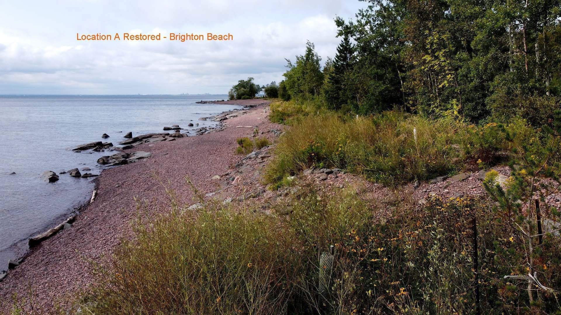
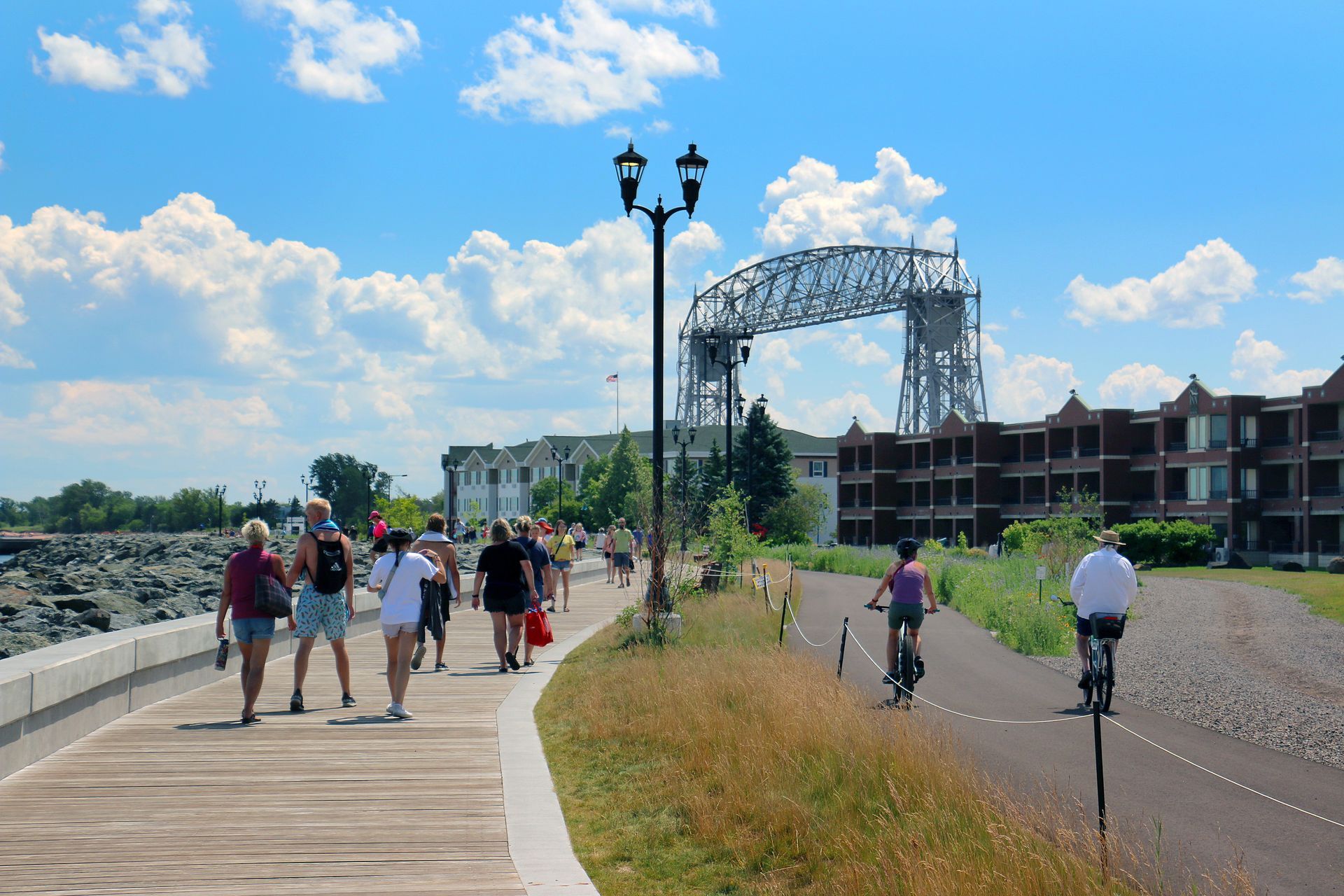
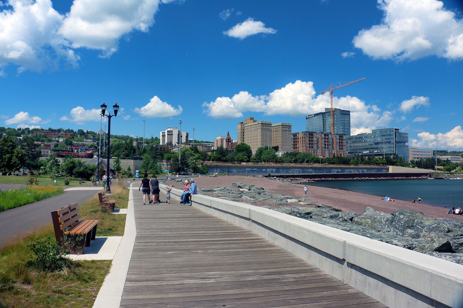
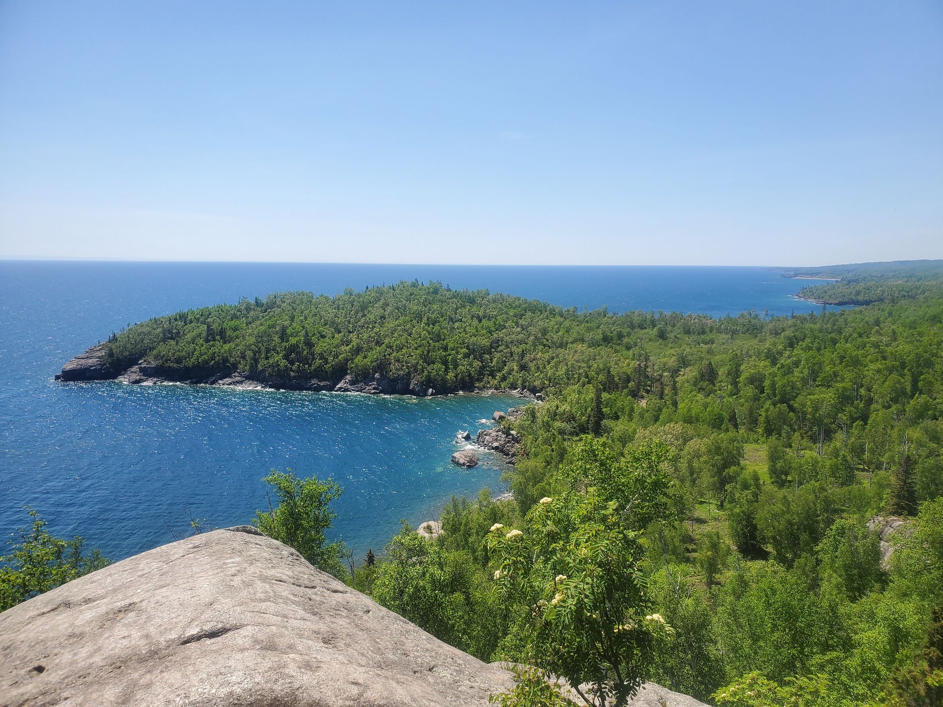
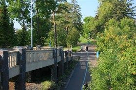
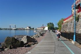
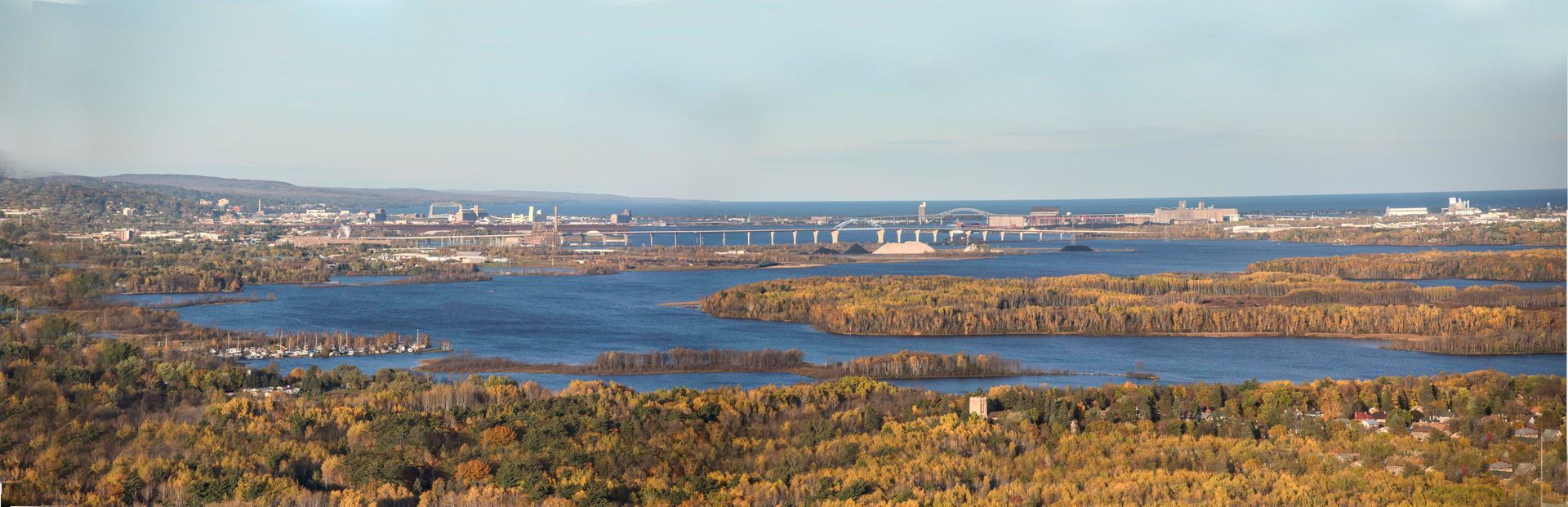
Lakewalk Bike Trail Coastal Tour
TIME: 8:30am - 12:30pm
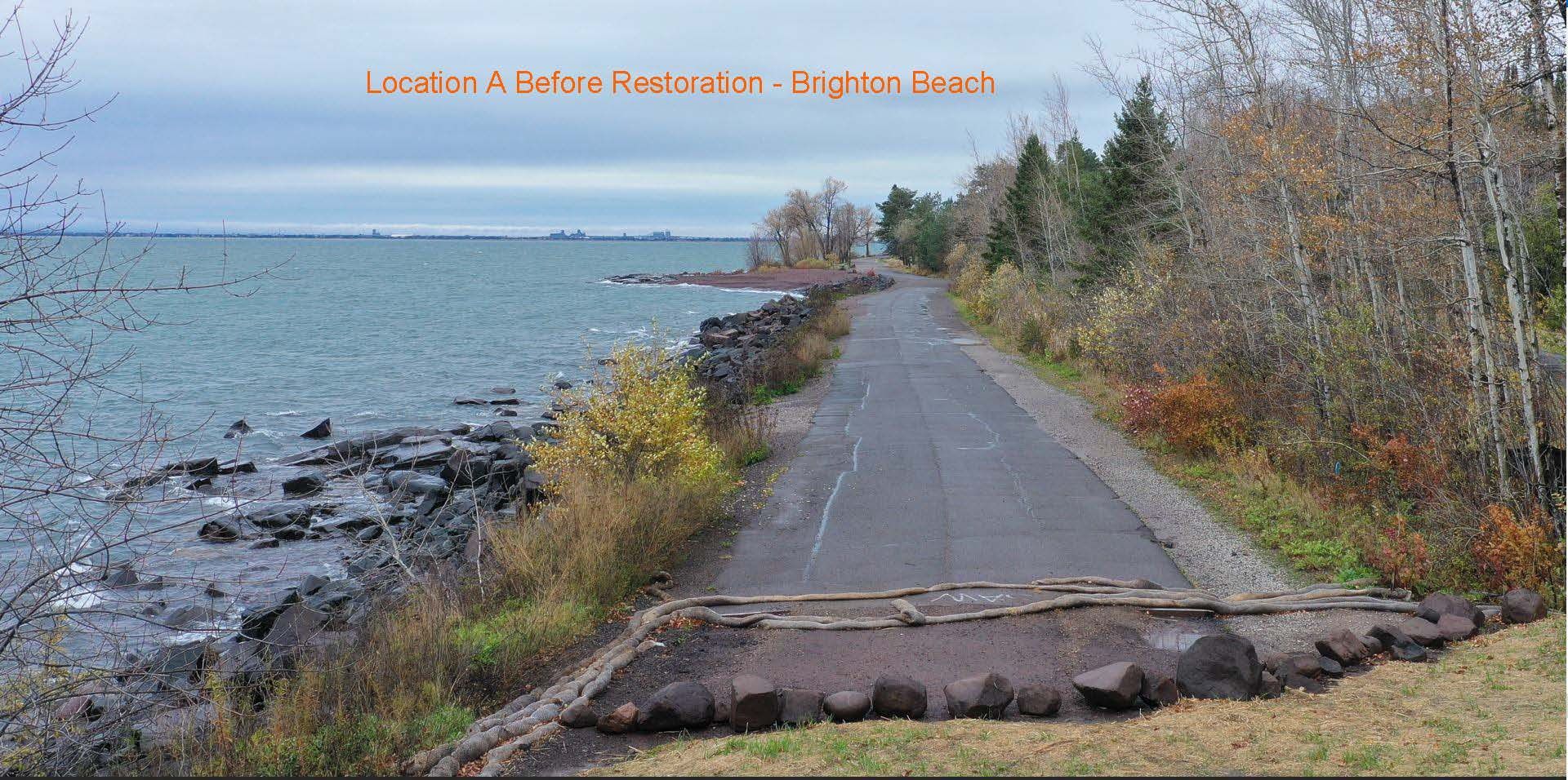
The trail that balances an urban center with an aquatic wilderness. “Lake Superior (Gitchigami) looks like it goes on forever and Duluth is on the edge of it.” Duluth once had its back to Lake Superior. It was its gutter, its back door, and a means for industrial expansion, a never exhausting resource that needed to be used, controlled. Gitchigami has proven time and time again that she cannot be tamed and that respect is demanded. This is the story of how a once heavily industrial City eventually embraced its alter image as an outdoor/tourism town. It’s a careful balance between built infrastructure and the wild nature of Lake Superior. The workshop starts at Harbor Plaza just outside of the convention center and ends at Canal Park with stops at Bayfront Park, Corner of the Lake Beach, Beacon Pointe, and Brighton Beach. Beginners and adaptive bike riders welcome!
Equipment Included
Bikes and helmets are included in the workshop and adaptive bikes are available upon request. Please email candace@americantrails.org if an adaptive bike is needed. Attendees will receive a follow up email from SORP inquiring on height and weight so they can be fitted for bikes.
Things to bring
None
Accessibility note for attendees with mobility disabilities
This field workshop along the Lakewalk Trail in Duluth is mostly flat with some rolling terrain. The surface is asphalt the entire route (with some older segments in rough uneven condition) with 2.5 hours of actual riding on the bikes, 6 stops along the way to see different sections of the Lakewalk and different coastal/landscape design features for a total of 12 miles out and back with plenty of stops.
There is one significant hill 1.7-miles into the ride before Leif Erickson Park. That hill is approximately 275-feet long and has an average slope of 8.7% with a short segment in the middle that exceeds 10% slope. This ride does have two railroad track crossings at 90-degrees.
Learn morehere (more details on the terrain and slope where it is a bit steeper, and railroad track crossings) as well as
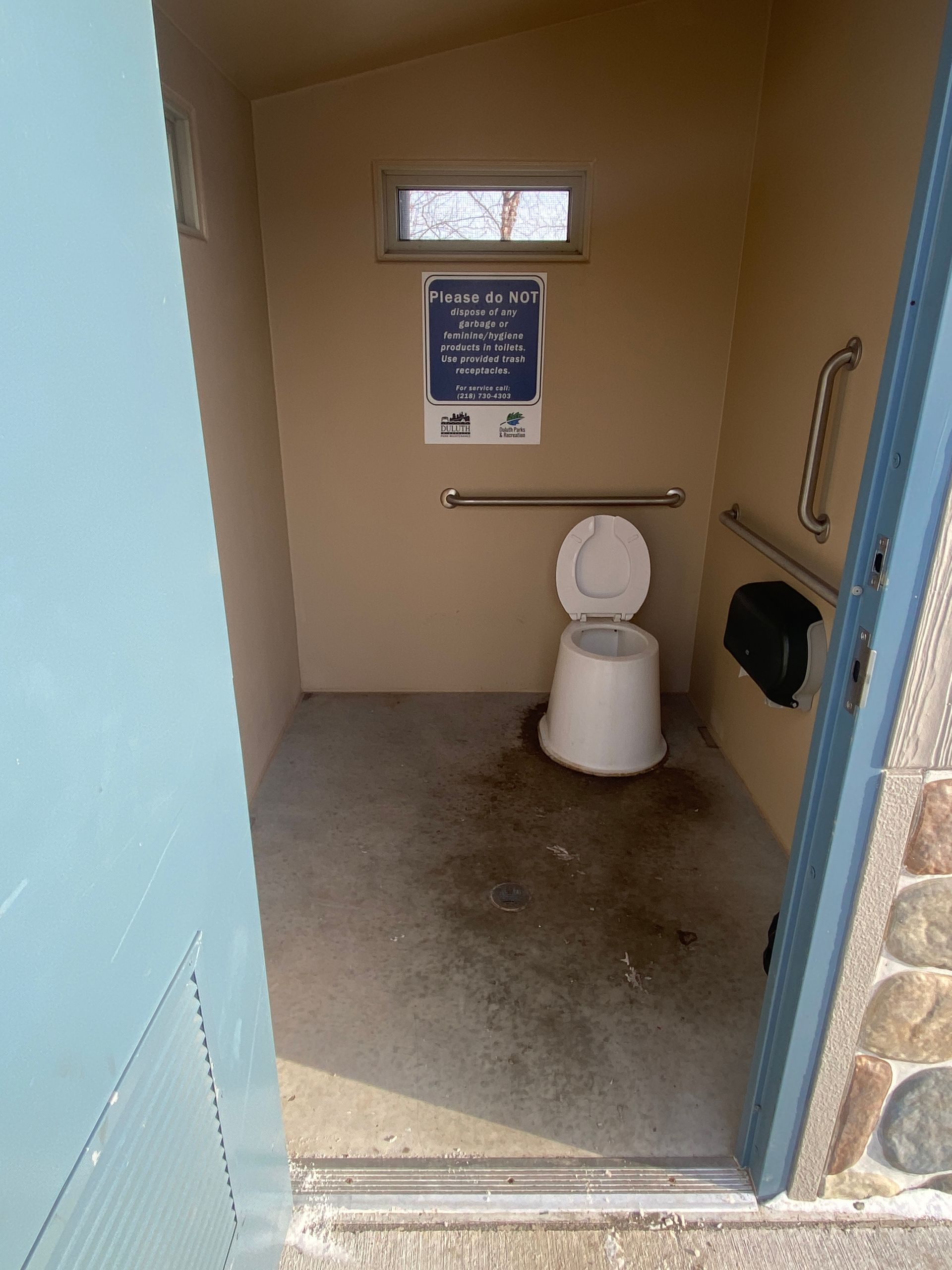
here (more description of the trail in general and more pictures of the Lakewalk). There are restrooms at the halfway point in Brighton Beach (two buildings for a total of 4 stalls with 36” doors and are unisex badged).
Learning Objectives
- Understand what a calculated retreat is and how it serves as a driving factor in coastal engineering and site design.
- Experience what a "living shoreline" looks like along Lake Superior and understand its ecological function compared to traditional hard armoring techniques, including how and where each method is appropriate.
- Learn how the Lakewalk is maintained and the tourism that has developed around it.
- Discover the best practices for climate adaptation to manage changing lake levels.
- Understand the elements involved in designing a trail close to the shore where there is little to no room.
- Explore the different coastal engineering techniques that have been utilized along sections of this trail.
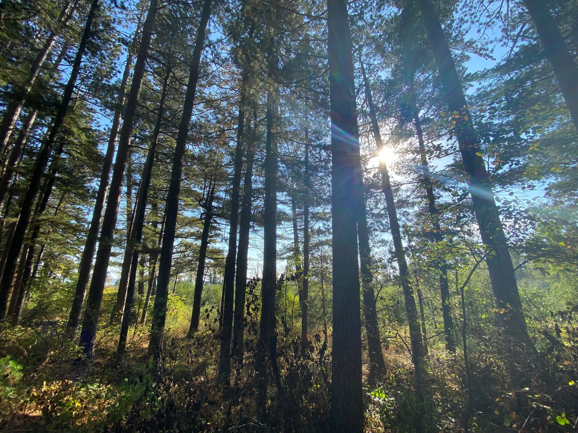
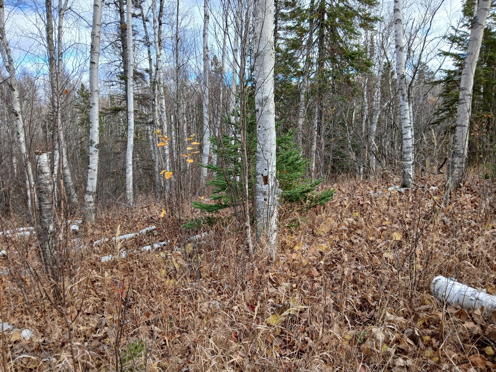
Resilient Landscapes: A Short Hike at Jay Cooke State Park
TIME: 8:30am - 3:30pm
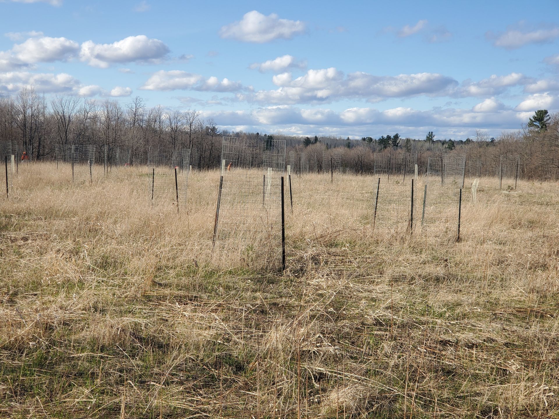
Participants on this field trip will gain firsthand insight into how climate and natural landscape qualities present both challenges and opportunities for success in ecological restoration and cultural preservation.
This itinerary highlights the St. Louis River valley and Willard Munger State Trail, areas that endured devastating flooding in 2012 and repeated storm damage over the past decade.
Participants will see projects aimed at retaining special natural and cultural qualities while adapting to the new climate realities we face. We will explore approaches including up-sizing flow capacity, rebuilding and protecting historic features like the swinging bridge and Grand Portage trail, stabilizing hillsides, managing invasive species and reforesting with climate adapted species. These efforts are strengthened by collaboration across many entities including private, federal, state and tribal representatives.
Upon arrival, the park naturalist will provide a compelling visual overview of the flood impacts that closed the park for the first time in its history. The visit will then combine short hikes, bus stops to observe storm impacts, and ongoing restoration work. Participants can expect to navigate some gravel paths, exposed roots and occasional gentle to moderate hills.
Midday lunch period and following visit to Oldenburg Point overlooks will provide breaks to encourage self-reflection and immersion in the park’s landscape, reinforcing the connection between human stewardship and ecological resilience.
Equipment Included
While this workshop includes a short hike, a track chair is available for those who need it. Email candace@americantrails.org if you would like to request a track chair.
Things to Bring
None
Accessibility note for attendees with mobility disabilities
Accessible transportation is provided if needed. Please make a note when you register under the accessibility needs question.
Learning Objectives
- Explore climate-resilient infrastructure planning through flood-adapted trail design and erosion control strategies.
- Understand forest regeneration and watershed restoration as tools for long-term ecological resilience.
- Identify collaborative approaches to regional climate adaptation across agencies, communities, and conservation partners.
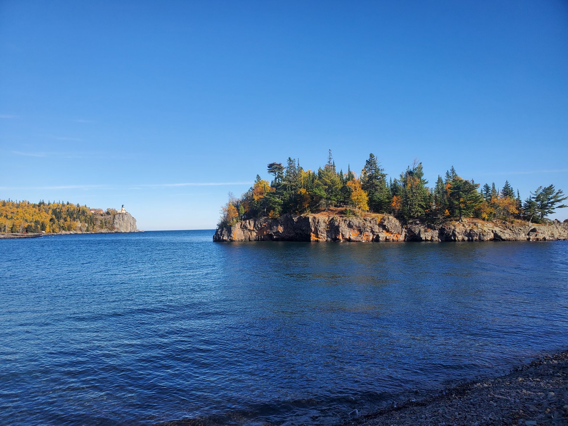
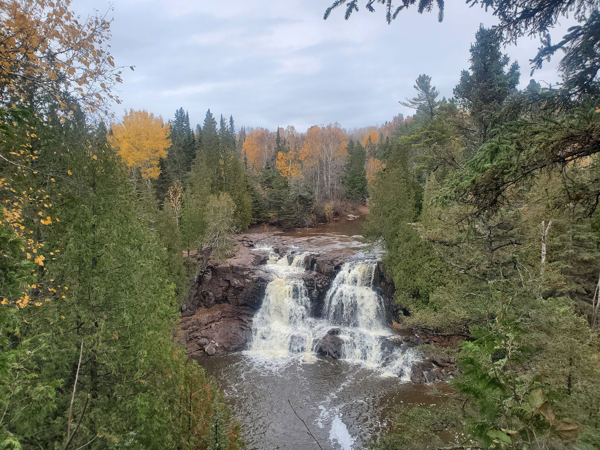
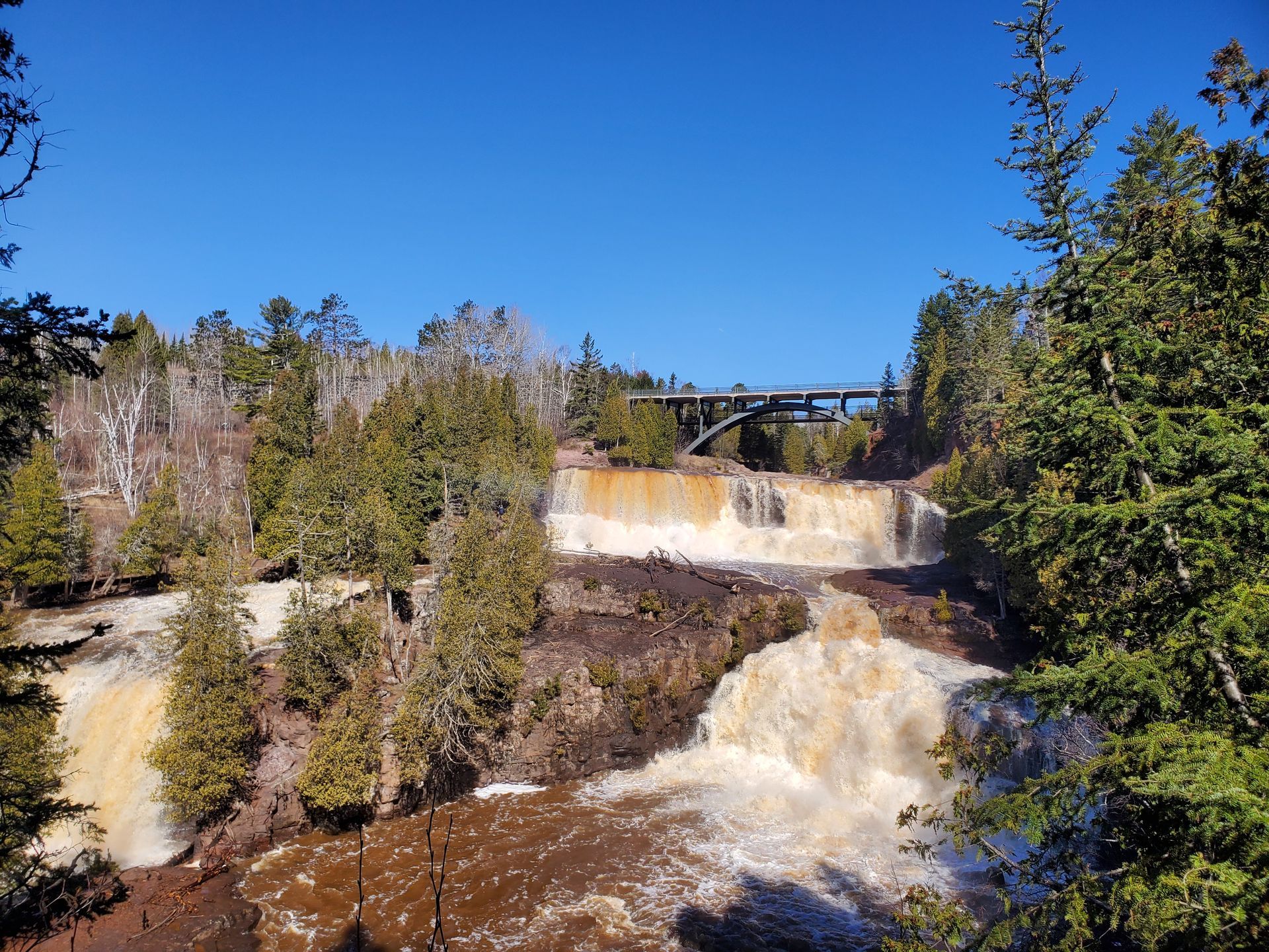
Climate Resilience in Minnesota’s State Parks: Hiking on the North Shore of Lake Superior
TIME: 8:30am - 5:00pm
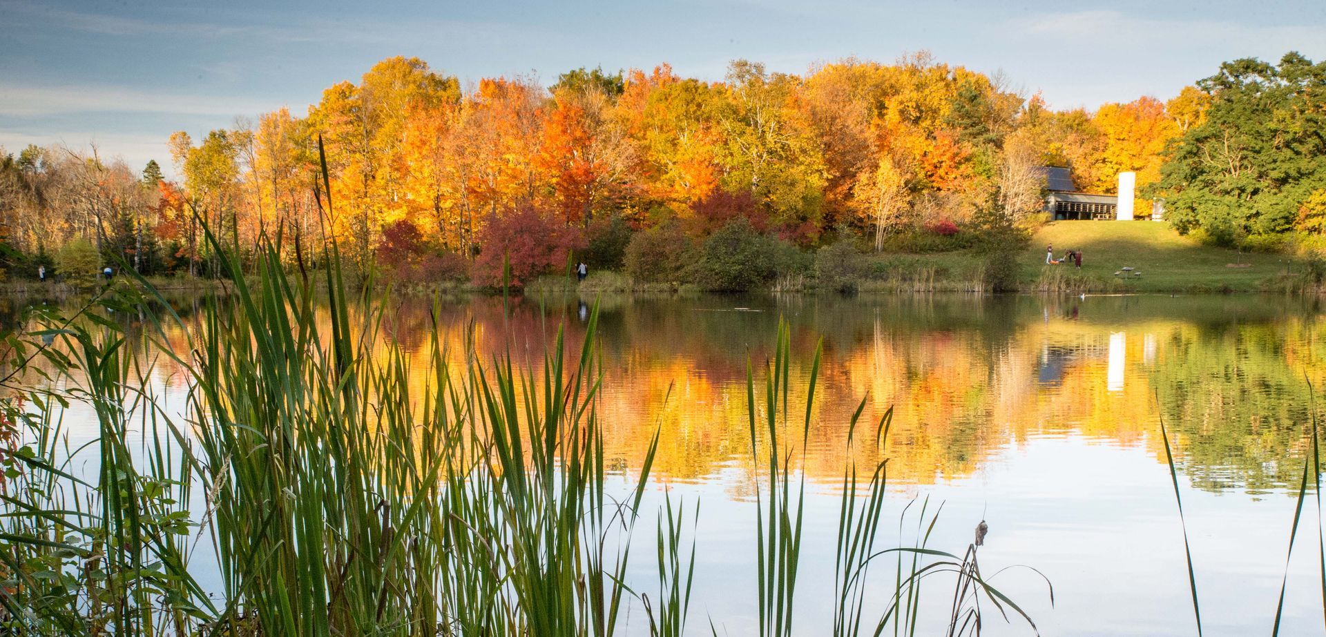
Participants will explore three remarkable sites along Minnesota’s North Shore: Gooseberry Falls State Park, Split Rock Lighthouse State Park, and Iona’s Beach Scientific Natural Area. This region is experiencing significant impacts from a changing climate, including heavier rainfalls layered on snowpack, varying lake water levels across Lake Superior, and unprecedented wind events. These challenges affect both natural resource management and outdoor recreation. Along the way, participants will see how the Minnesota Department of Natural Resources (DNR) is responding through trail reroutes, shoreline and riverbank restoration, and forest regeneration projects—all part of a broader effort to adapt through thoughtful design, ecological restoration, and community-driven stewardship. Midday, the group will pause for a 1.5-hour lunch at the Split Rock Lighthouse State Park day use area. This break provides time for self-exploration along the Lake Superior shoreline, where visitors can enjoy both a pebble beach and rugged rocky outcrops. The combination of guided interpretation and personal discovery offers a balanced experience—highlighting the resilience of Minnesota’s North Shore landscapes while allowing participants to connect with the natural beauty of the region at their own pace.
Equipment Included
None
Things to Bring
None
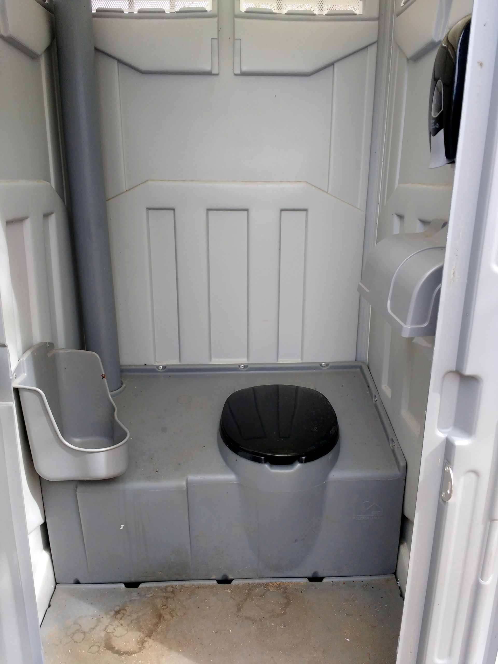
Accessibility note for attendees with mobility disabilities
The hikes will take place on a mix of paved and gravel trails, with some sections featuring exposed roots, rocks, wet conditions, and moderate elevation gain. While one portion of the trail is not ADA accessible, individuals requiring accommodations are encouraged to contact organizers to discuss specific needs. A track chair may be available at one stop to extend access. Guided hikes will be kept to a manageable distance of no more than 1.5 miles, ensuring participants can fully engage with the sites while learning about ongoing restoration efforts. Restrooms with accessible flush toilets are available at the Gooseberry Falls State Park visitor center (Stop 1) and the Split Rock Lighthouse State Park Trail Center (Stop 3 and the lunch location). Accessible transportation is provided if needed. Please make a note when you register under the accessibility needs question.
Restroom accessibility:
Gooseberry Falls State Park has modern wheelchair accessible restrooms. There are no physical barriers from the parking lot to the visitor center. Doors to the building have ADA automatic door opener buttons. Restrooms have barrier-free entry, lowered sinks, automatic fixtures, grab bars and floor-to-ceiling stalls.
Split Rock Lighthouse Trail Center has no physical barriers from the parking lot to the trail center. The doors to the building have ADA automatic door opener buttons, but the restrooms do not. There is an accessible stall with grab bars in each of the restrooms. Water access in the sinks is push-button, and users have to push down on the hot or cold to initiate water flow. There are no grab bars near the sinks. There are also accessible vault toilets along the hiking trail near the trail center. There is a seasonal accessible portable toilet at
Iona’s Beach (stop 2) with no running water.
Learning Objectives
- Observe climate-resilient infrastructure planning and reforestation through real-world examples of trail restoration and climate-adapted tree planting.
- Learn about the unique natural history of the north shore of Lake Superior including Iona’s Beach Scientific Natural Area and overmature birch forests
- Observe and discuss forest regeneration techniques that promote biodiversity, increase carbon storage, and take climate change into account
- Explore opportunities for collaboration and community engagement in advancing sustainable natural resource management across agencies and stakeholders.
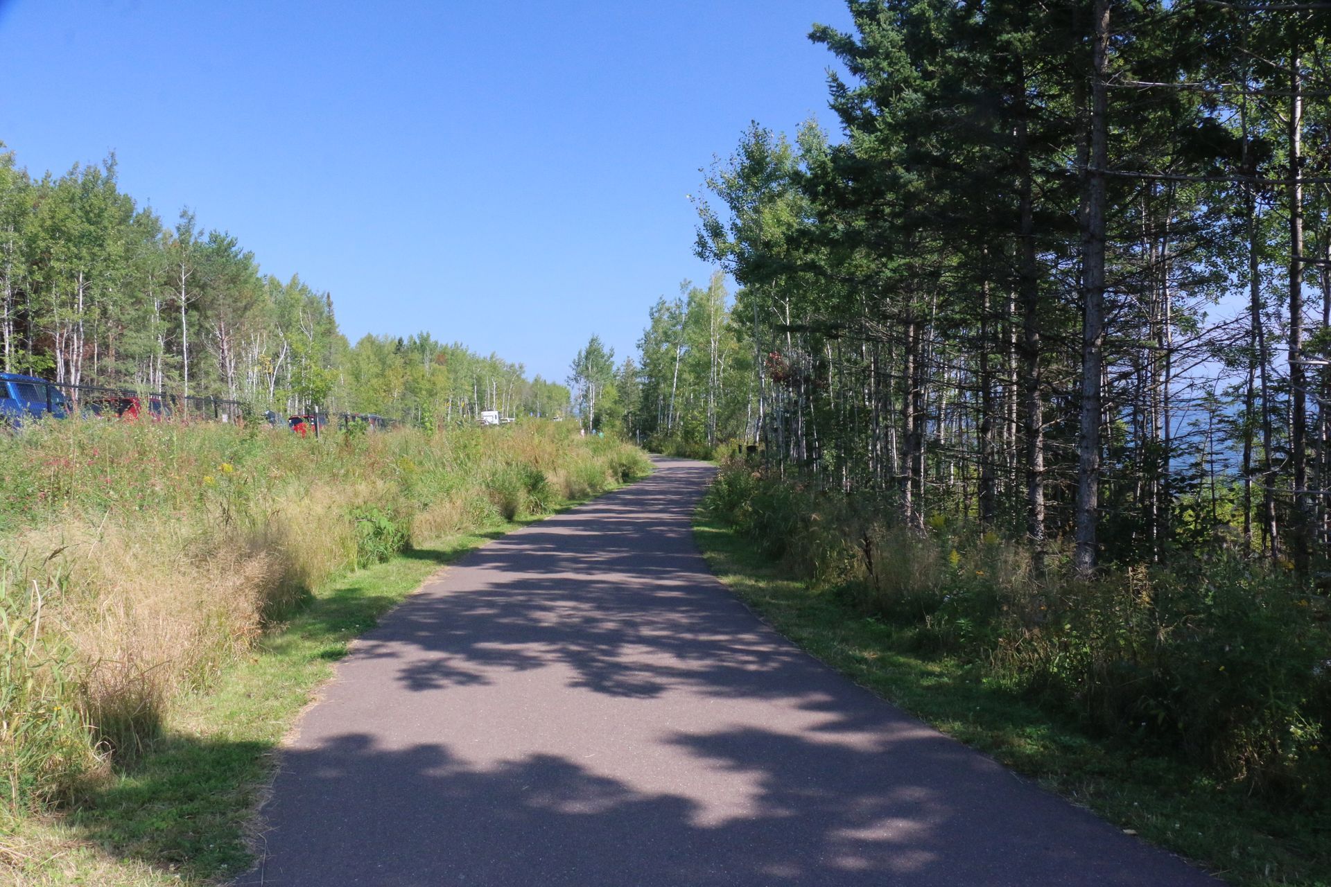
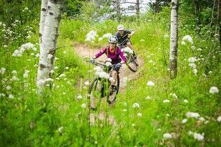
Hiking Duluth’s Trails: Connecting Community, Education, and Sustainability
TIME: 9:00am - 3:00pm
This trip will bring participants on a 5.5-mile hike across Duluth on both natural surface and paved trails, and connect three hubs of outdoor education and environmental protection (hike is 4 miles of trail (single track and ski trail mix), 0.5 mile of sidewalk, and 2.5 mile of paved bike trail). Participants will explore the Superior Hiking Trail, the Duluth Traverse, and other trails as they move between parks and across the city. At Hartley Park, participants will learn about the coordinated efforts between the city of Duluth, DNR, and other partners to restore an urban trout stream, and the variety of outdoor education programs for youth tied to this stream and forested park. Next, participants will see how the University has capitalized on the Bagley Natural Area to advance environmental education and outdoor recreation on campus. The next stop will demonstrate a city-nonprofit partnership that includes summer programming and an extensive winter skiing program at Chester Park. This field workshop starts at 1,200 feet in elevation and goes down to 600 feet at the end with the trail traversing a bit of up and down.
Equipment Included
None
Things to Bring
None
Accessibility note for attendees with mobility disabilities
A bus will be available at each stop should an attendee wish to use it to ride to the next location (noting that there may be a wait time as attendees walk the route). There are ADA-accessible restrooms available at Hartley (mile 0) and Bagley (mile 1.6) have ADA-accessible restrooms, and Chester Park (mile 2.7) also has restrooms. There are also regular porta-potties that will be available along the route. Accessible transportation is provided if needed. Please make a note when you register under the accessibility needs question.
Learning Objectives
- Understanding how the City of Duluth, state agencies, and nonprofits collaborate on management of open spaces
- Comparing different models of environmental education between nonprofit and university settings
- Identifying novel opportunities to enhance environmental education and recreation within their own communities
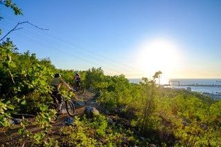
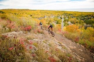
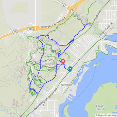
The Duluth Traverse Mountain Bike Trail: How Duluth Rebranded as the Best Outdoor Town in America
TIME: 9:00am - 3:00pm
The Duluth Traverse Trail is a 45-mile, natural surface, bike-optimized multi-use trail connecting parks, neighborhoods, schools, and businesses while preserving large swaths of green space as public parkland. Participants will ride and walk representative segments of the Duluth Traverse around Spirit Mountain, the Lincoln Park Craft District and Hartley Nature Center, and visit key access points to understand how intentional trail design intersects with connectivity, youth development opportunities, tourism, and conservation of urban green space. The bike riding portion will be approximately 6 miles, with just over 600 feet of elevation gain and loss, at Spirit Mountain with 5 miles of walking around other locations. The trails we will ride during this workshop are a mix of natural surface singletrack, and dirt service road suitable for beginner and intermediate riders. View the map and elevation profile of the workshop route. There are accessible restrooms at the Ski Hut Adventure Center, Bent Paddle, and Hartley Nature Center. Beginners and adaptive bike riders welcome!
Equipment Included
Bikes and helmets included in the workshop. Adaptive bikes are available upon request. Please email candace@americantrails.org if an adaptive bike is needed. Attendees will receive a follow up email from SORP inquiring on height and weight so they can be fitted for bikes.
Things to Bring
None
Accessibility note for attendees with mobility disabilities
Accessible transportation is provided if needed. Please make a note when you register under the accessibility needs question.
Learning Objectives
- Understand how Duluth planned, funded, built, and now maintains a 110 mile, urban natural surface trail system, including the role of nonprofit partnerships, local business support, volunteer engagement, and public funding opportunities.
- Identify design elements that make a trail system accessible and enjoyable for diverse users, including mountain bikers, hikers, trail runners, adaptive riders, and families.
- Recognize how urban trail systems can influence local economies, workforce attraction, real estate development, health outcomes, environmental stewardship, and quality of life.
- Examine long-term maintenance strategies, and city/nonprofit agreements that support a world class trail system.

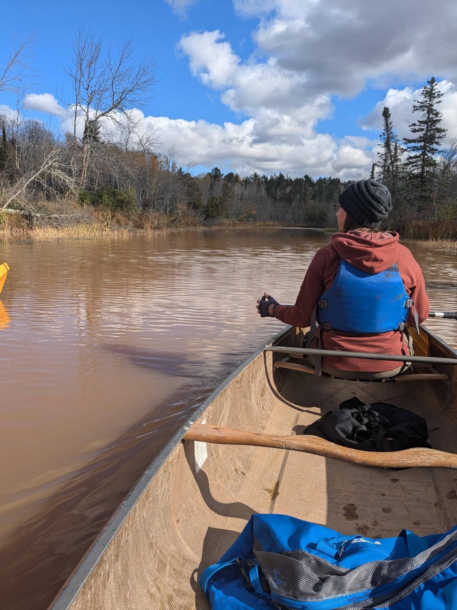
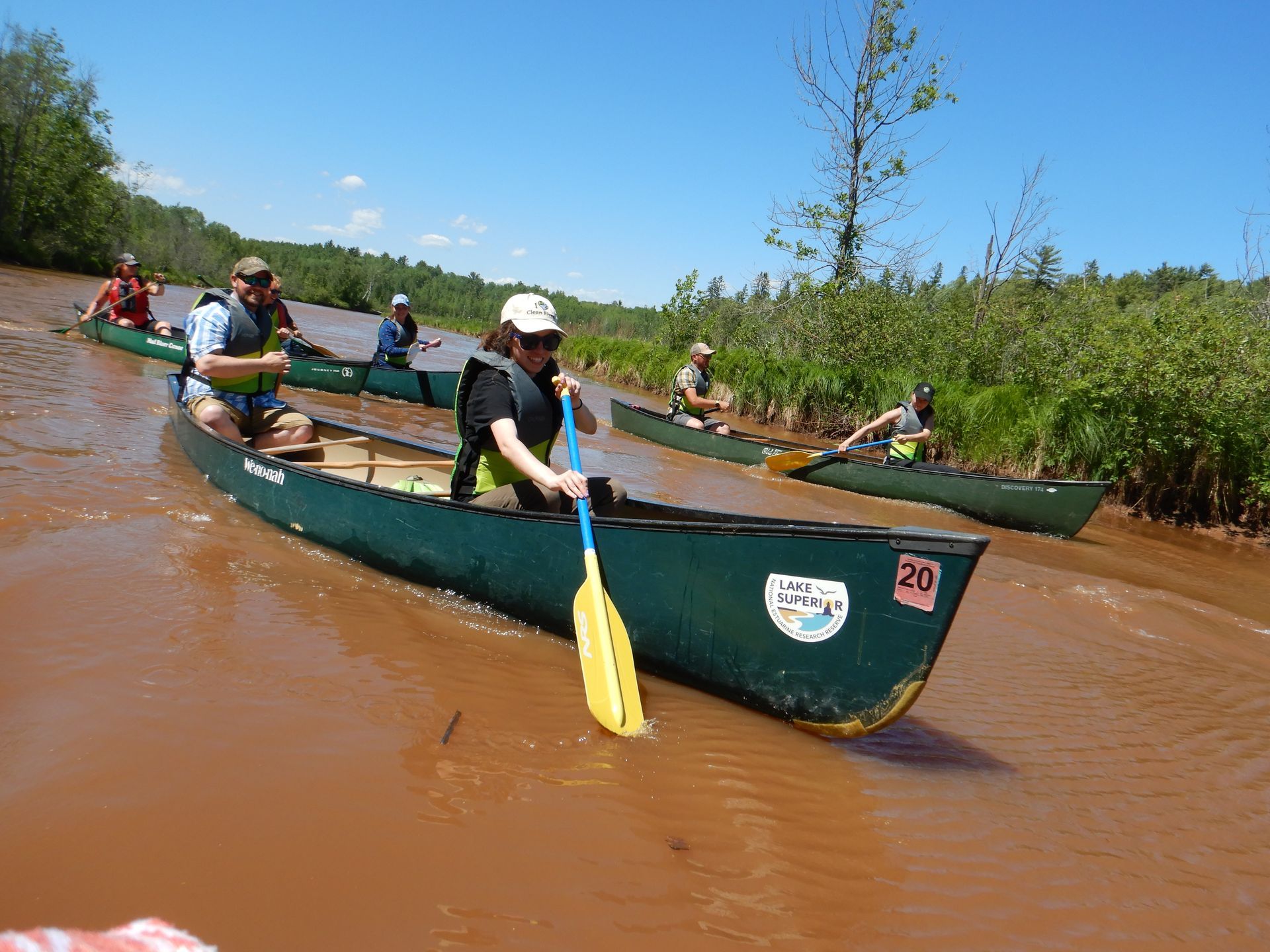
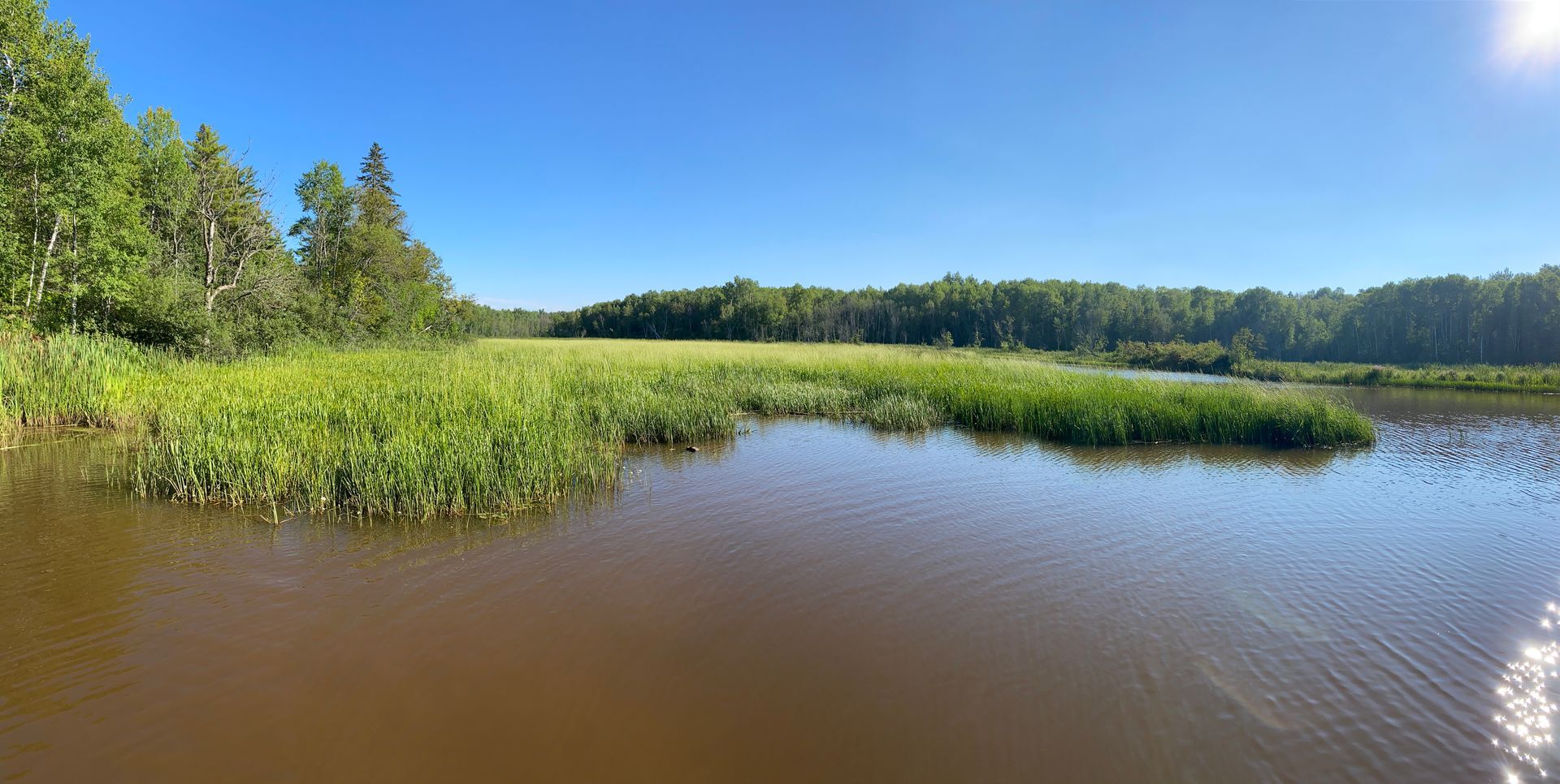
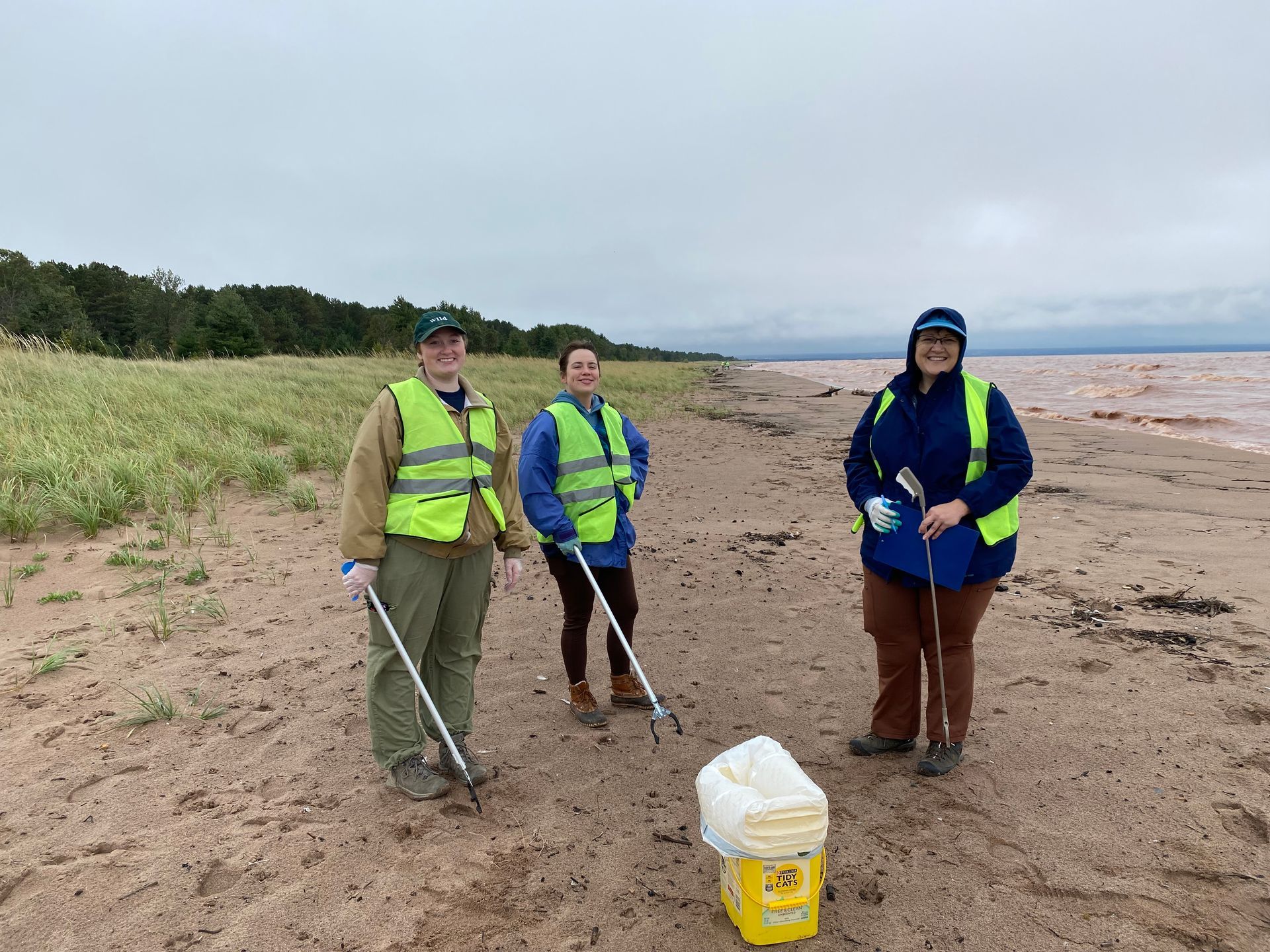
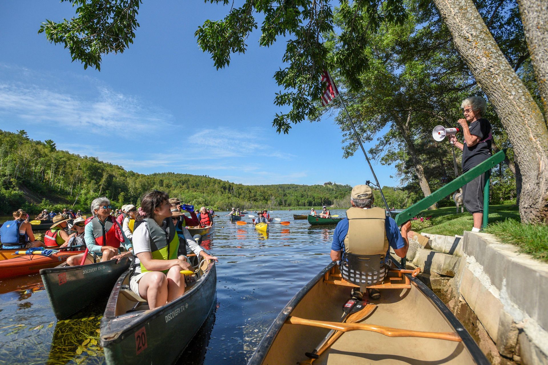
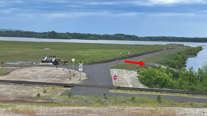
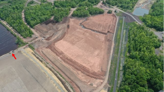
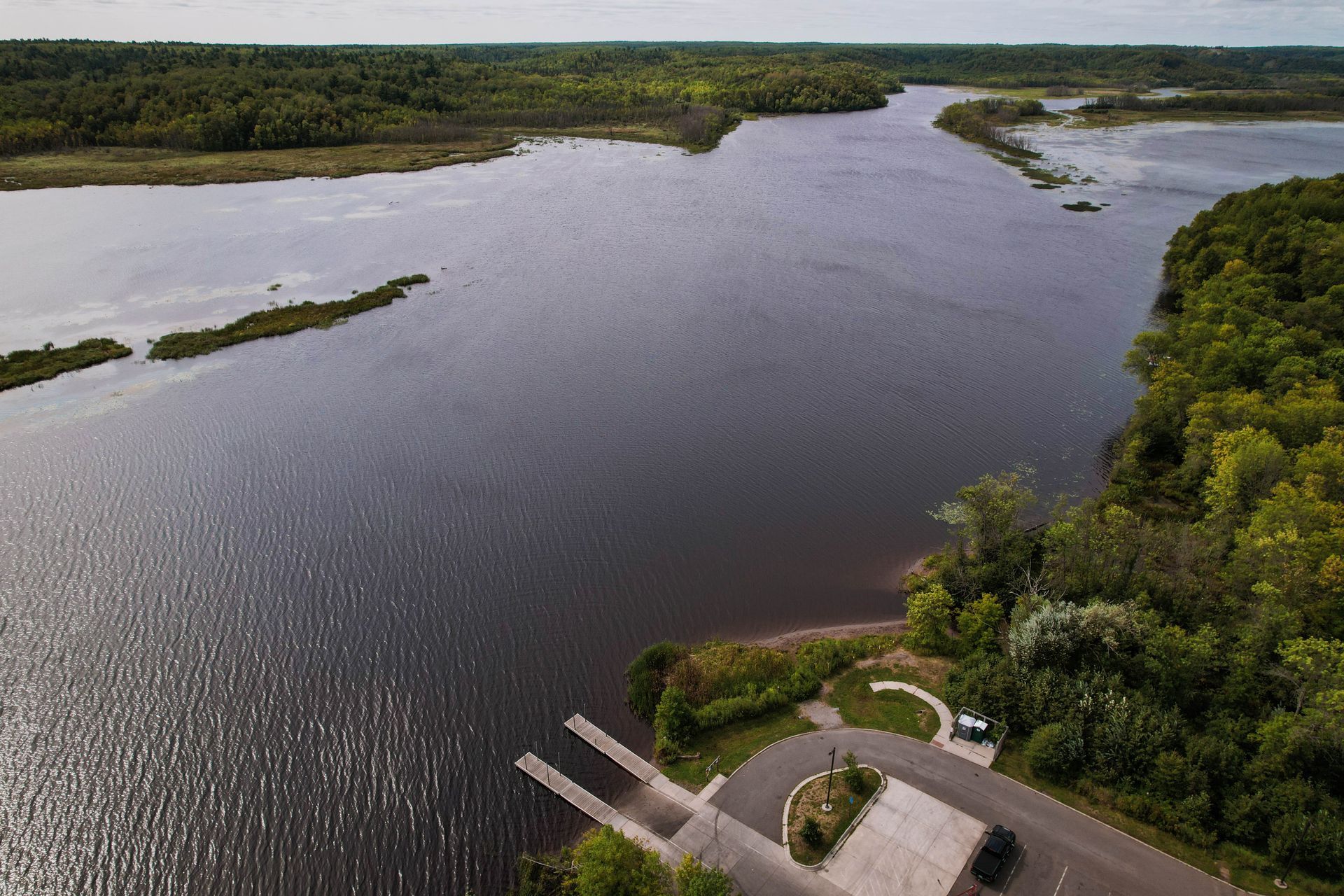
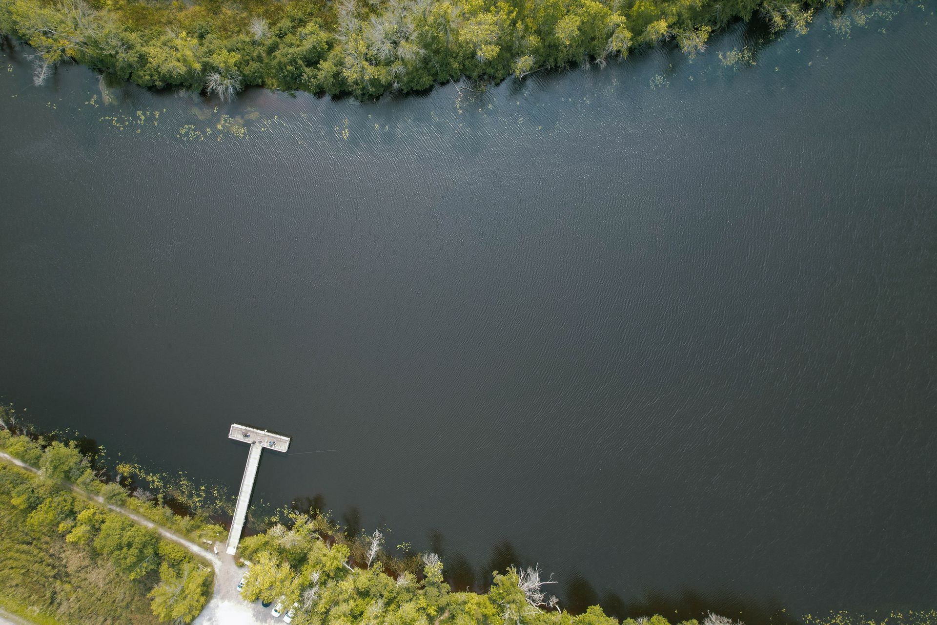
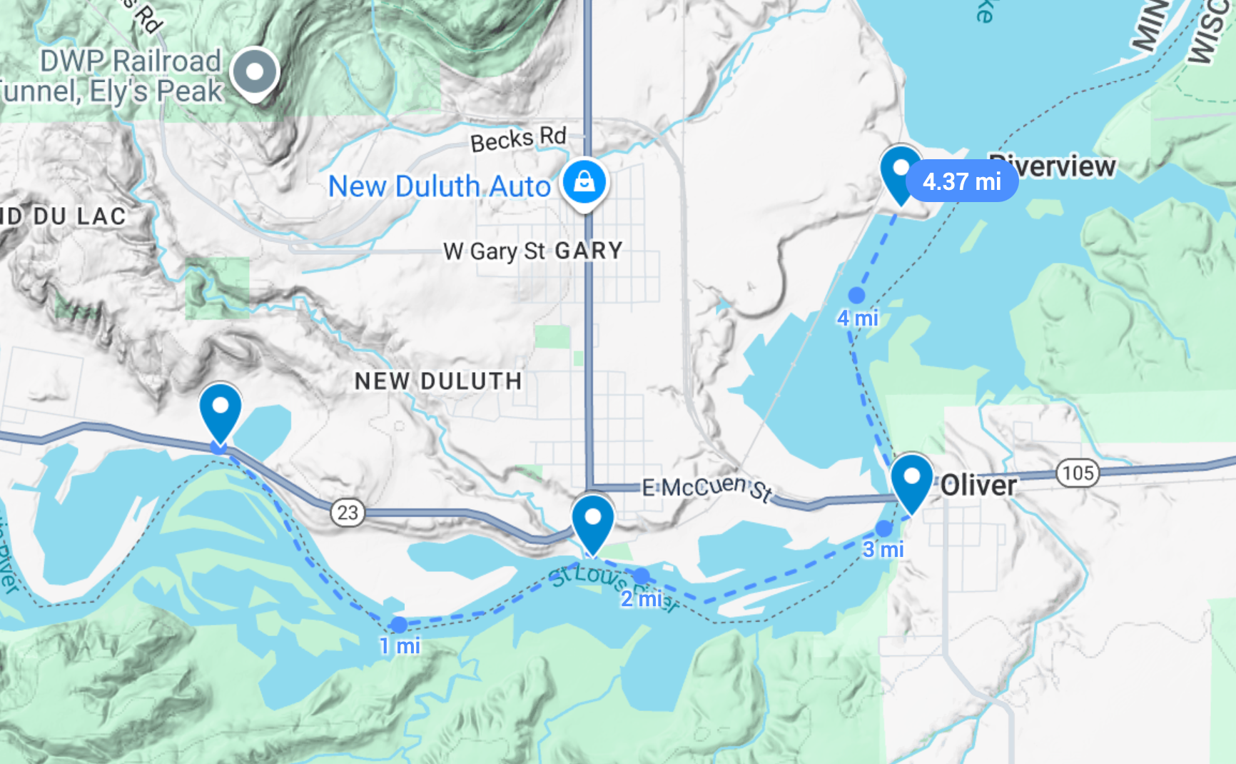
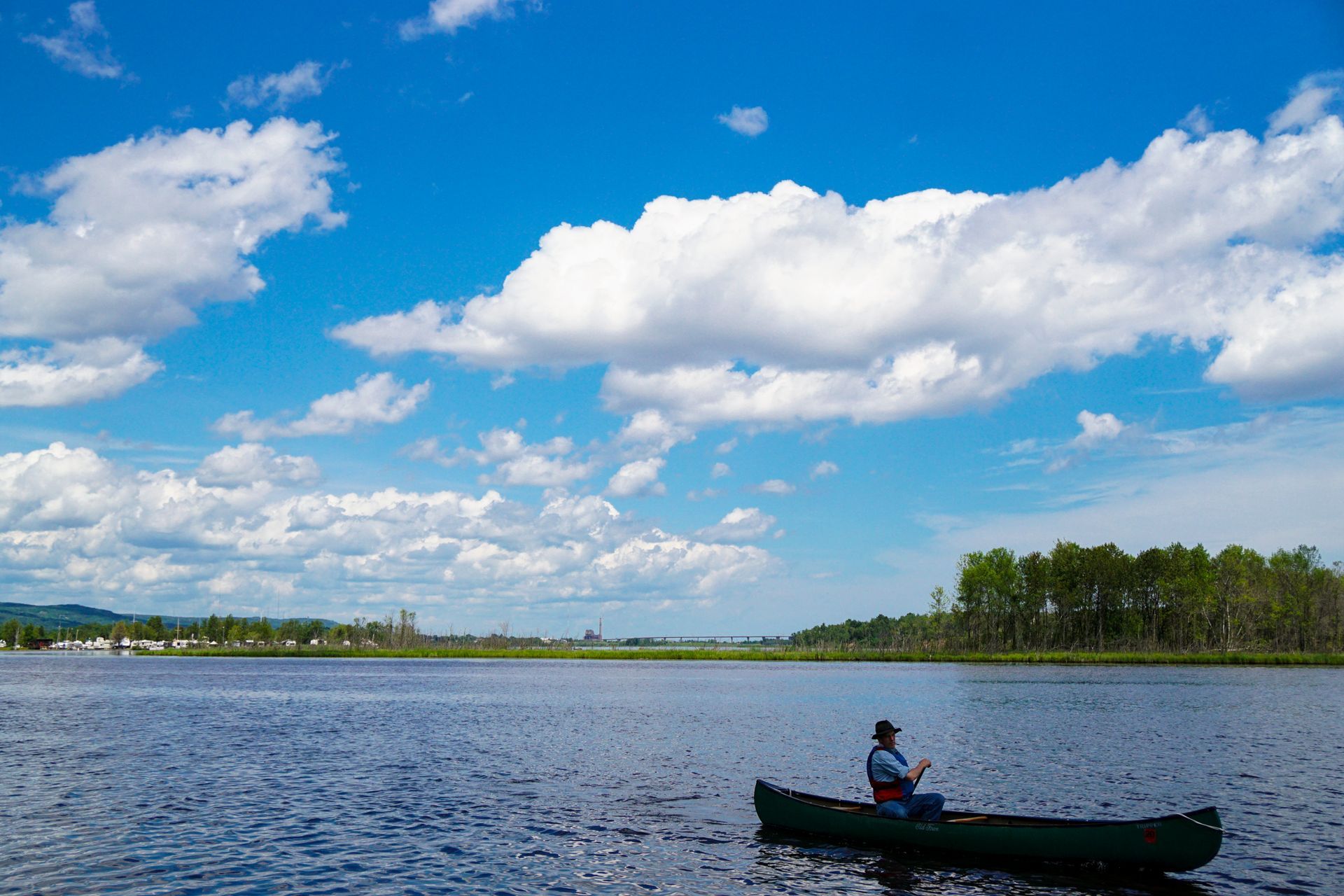
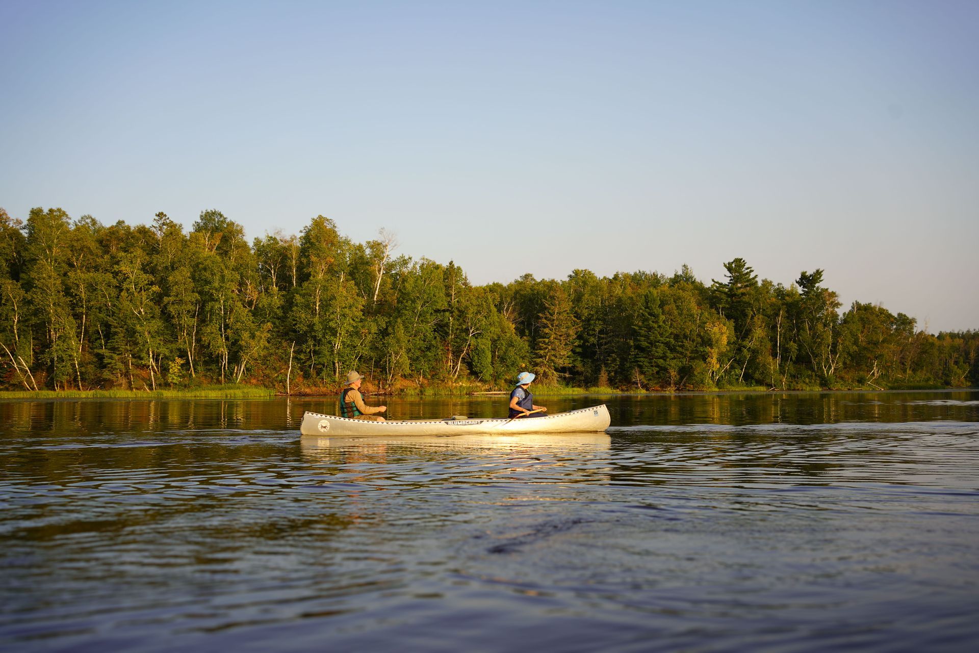
R to R to R Paddle: Exploring Remediation, Restoration, and Recreation on the St. Louis River Estuary
TIME: 9:00am - 4:30pm
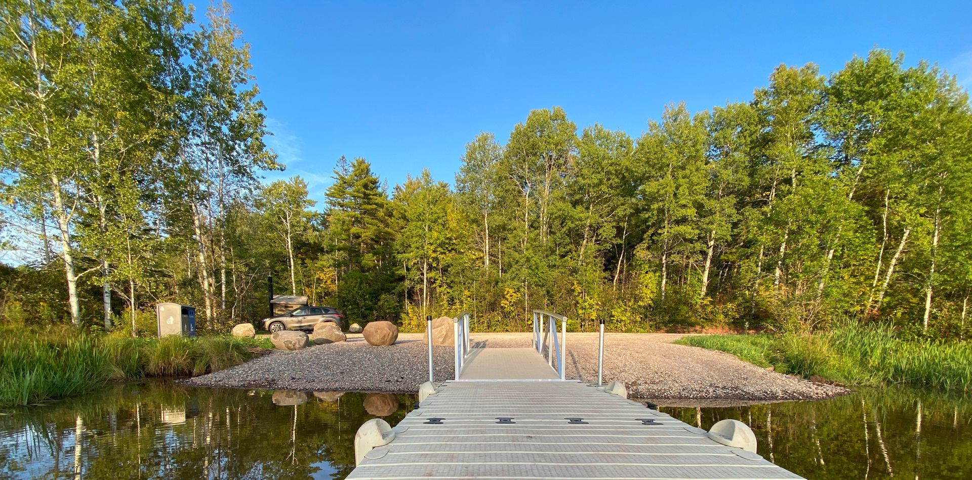
Join us on the water for an immersive paddling experience highlighting the incredible transformation of the St. Louis River. This guided 4-mile intermediate canoe trip will explore how decades of remediation and restoration work are shaping a future of expanded recreation and community connection on this nationally significant estuary. The field workshop will begin at Chambers Grove Park and paddle downriver on the St. Louis River Estuary National Water Trail ending at Boy Scout Landing. Along the way attendees will stop to learn about the St. Louis River’s history, its designation as a National Water Trail, and progress toward delisting as an Area of Concern. Along the route, participants will hear from Tribal leaders, natural resource experts, and project partners about ongoing and future restoration projects—such as manoomin (wild rice) and sturgeon recovery, Perch Lake restoration, and other Area of Concern clean up efforts. The paddle will cover approximately 4 miles by canoe (intermediate activity level—meaning you’re comfortable paddling in a variety of conditions, can control your canoe, and can handle moderate currents or wind. You have experience with basic strokes, steering, and safety skills, and can navigate longer or more challenging routes with confidence). Our program will begin on-land in a covered pavilion, followed by on-water exploration. There will be a brief walk on flat, paved and packed surfaces to access the water and gear. Attendees will have the opportunity to go on land for bathroom breaks in an emergency, but the intention is to stay on the water as much as possible to keep the group contained. This session offers a rare opportunity to experience the estuary firsthand while learning directly from those leading its transformation—connecting the dots between remediation, restoration, and recreation. Tandem canoes provided will hold 2 attendees each; there will be one 4-person canoe. Our final destination will be Boy Scout Landing, where attendees will learn about future trail connections and recreation opportunities (portable toilets available at landing).
Equipment Included
Canoes, paddles, and PFD (personal floatation devices). Attendees will receive a follow up email from SORP inquiring on height and weight and preference on sitting in bow or stern.
Things to Bring
Minimum of 64 ounces of water, sunglasses / eye glasses with retaining strap, sunscreen, warm hat, sun hat, warm gloves, wool socks, shoes that we will try to keep dry, wind breaker layer, a change of warm dry clothes to pack in a dry bag in case of an unexpected spill in the river, and lots of layers to stay warm and comfortable on the water (please avoid cotton clothing and stick with synthetic or wool materials). You might also want to bring a thermos of your favorite hot (and sugary) beverage. If you get chilly, a sugary drink or snack can help your body to warm you up).
Accessibility note for attendees with mobility disabilities
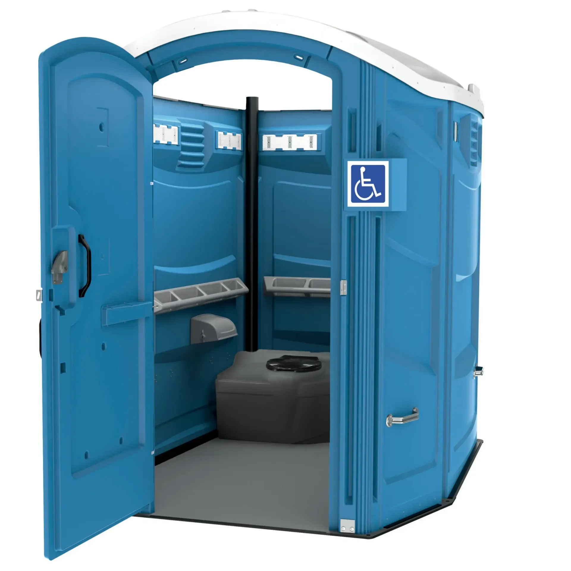
Chambers Grove Park (starting point) has a paved parking area. The launch area has a natural shoreline with no stairs or paved surfaces, and the path to the shoreline is gravel with a slight slope down to the water. Public restrooms are available on site. Perch Lake Landing (middle stop) features a natural shoreline with no stairs or paved surfaces, and the path to the shoreline is moderate with no dock. Portable toilets are available. Boy Scout Landing (final stop) features a paved parking lot and a paved, gently sloped path leading down to the water. A floating dock is available at the launch, though it does not include stabilizing bars. Portable toilets are available on site.As noted in the description above, attendees will only get out of their canoes for a short on-land segment if they need to use the restroom, otherwise it is requested that we stay on the water. The workshop has built in time for offloading and loading. If you have questions about accessibility or would like to request accommodations, please let us know ahead of time so we can support you. Accessible transportation is provided if needed. Please make a note when you register under the accessibility needs question.
Learning Objectives
- Participants will be able to describe the ecological and cultural transformation of the St. Louis River Estuary, including its remediation, restoration, and progress toward delisting as an Area of Concern.
- Participants will be able to explain the significance of the St. Louis River’s designation as a National Water Trail and how restoration efforts have expanded recreation and community connections.
- Participants will be able to identify key restoration and recovery projects—such as wild rice and sturgeon restoration, habitat rehabilitation, and cleanup efforts—and discuss how these projects contribute to the estuary’s long-term sustainability and public access.
Photo left credit: Alyssa Johnson
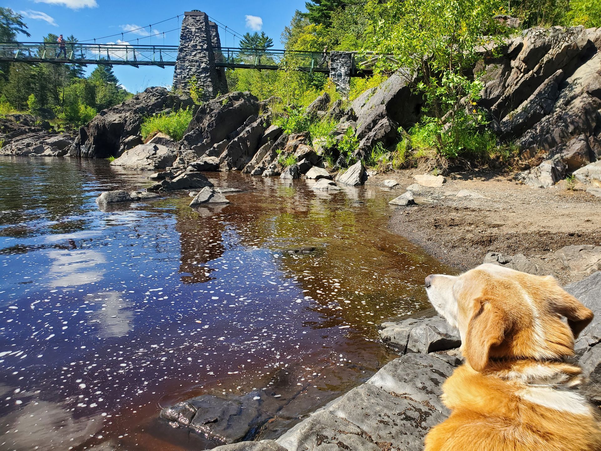
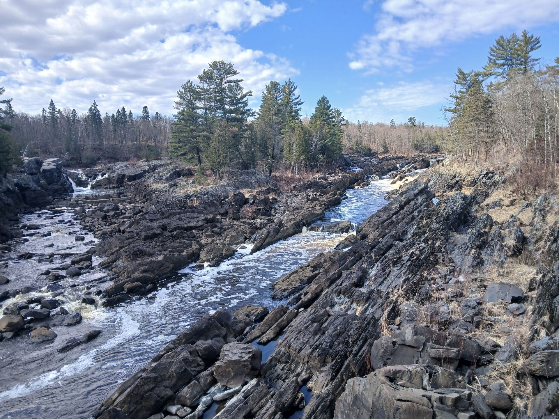
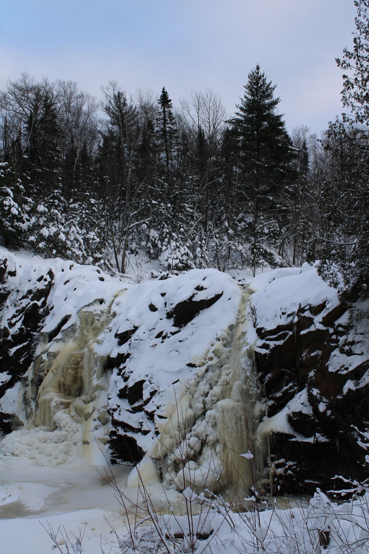
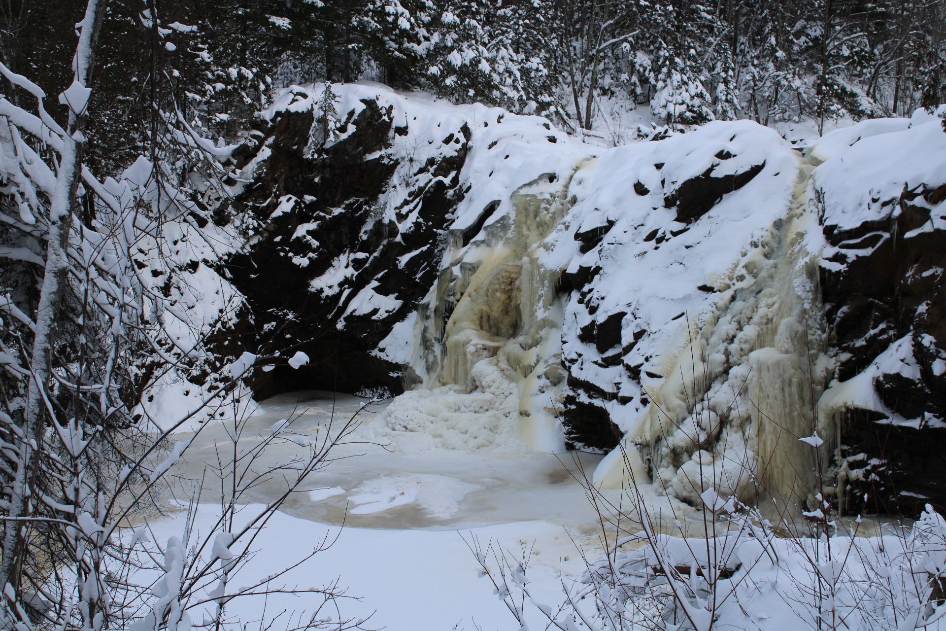
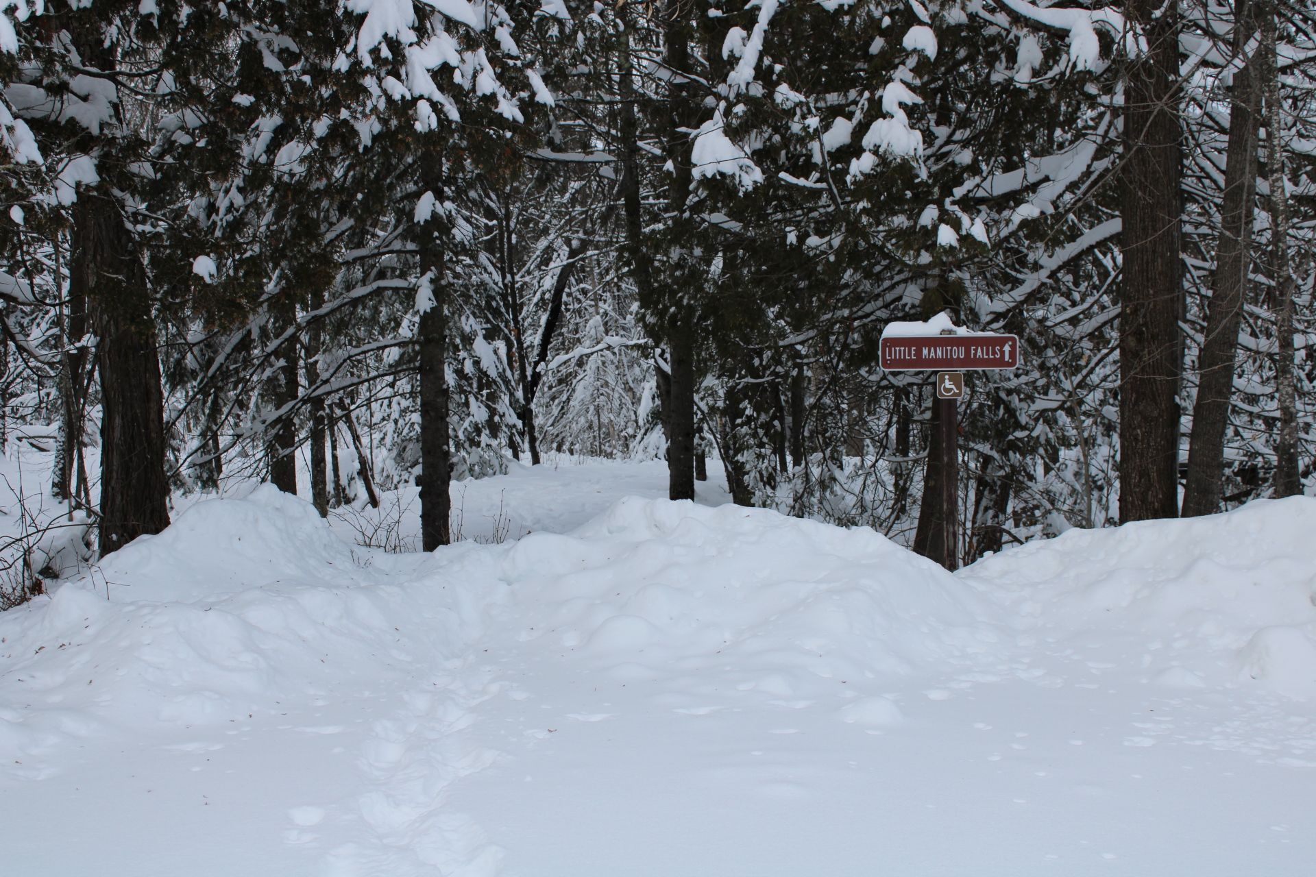
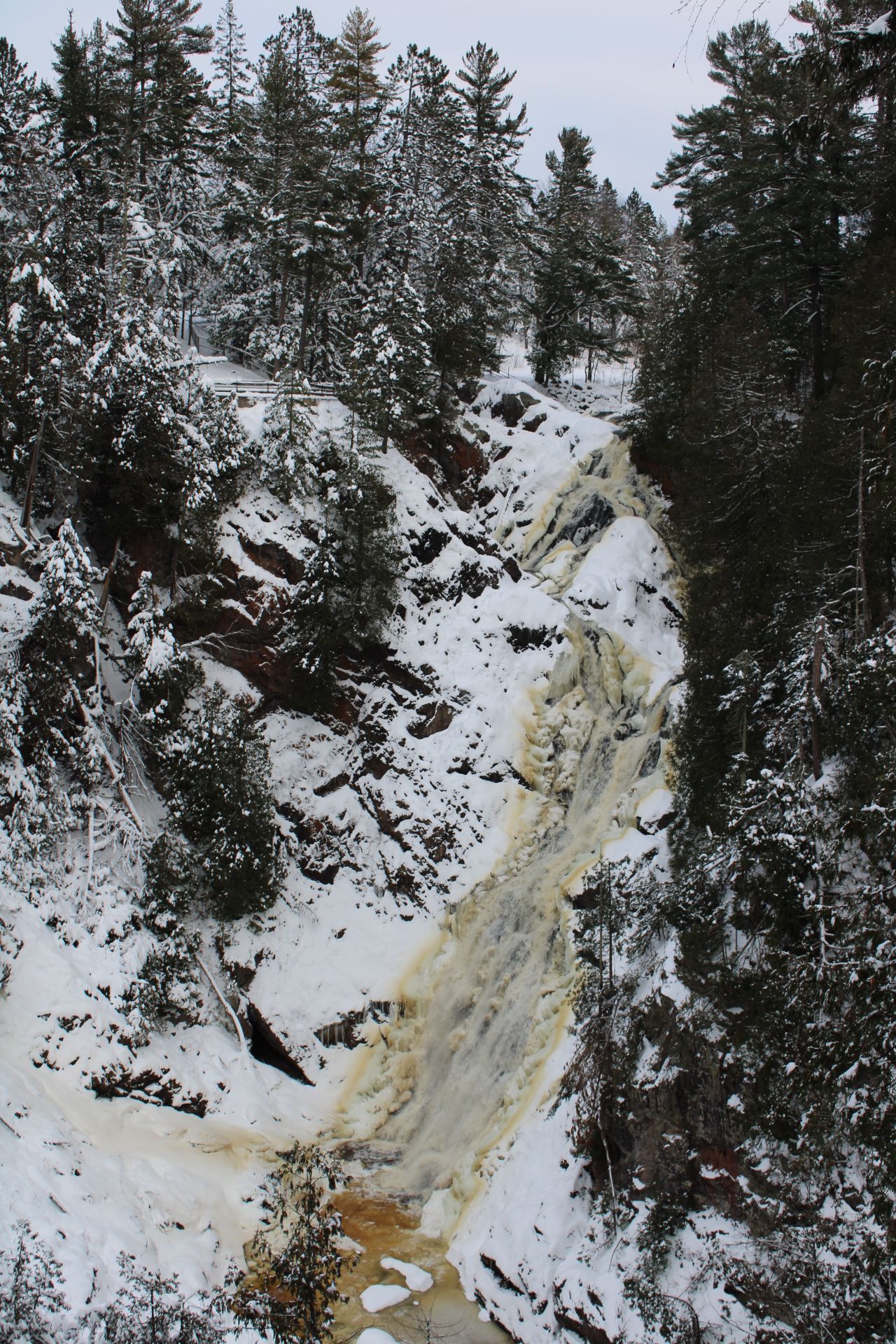
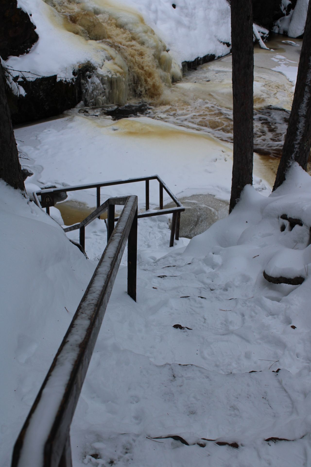
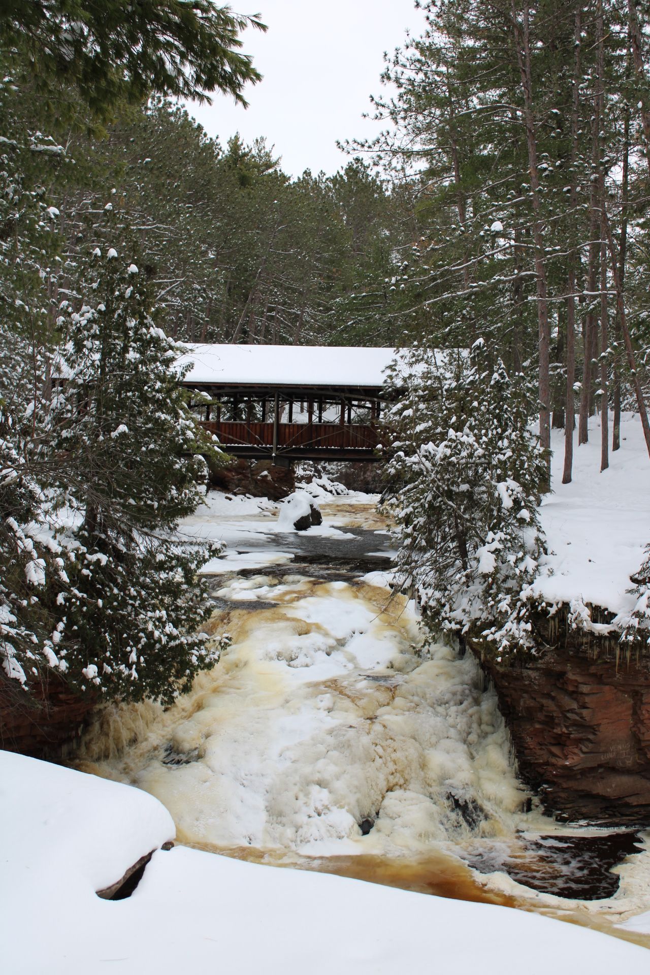
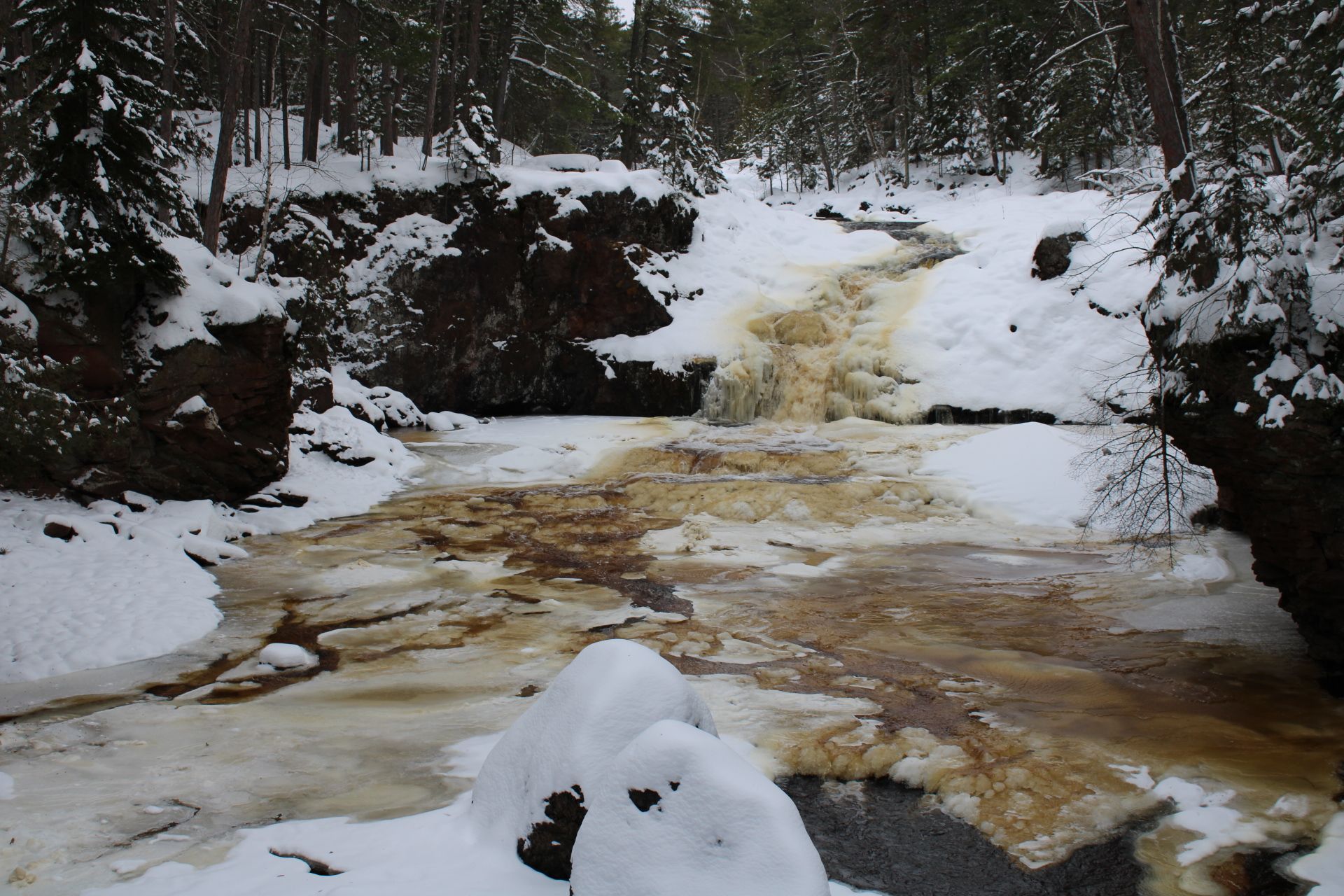
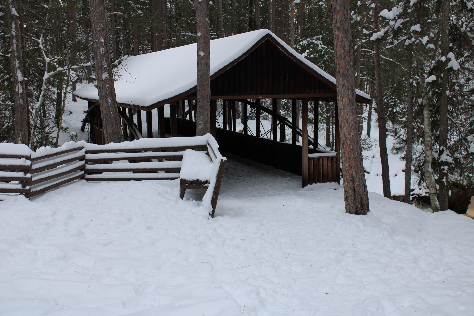
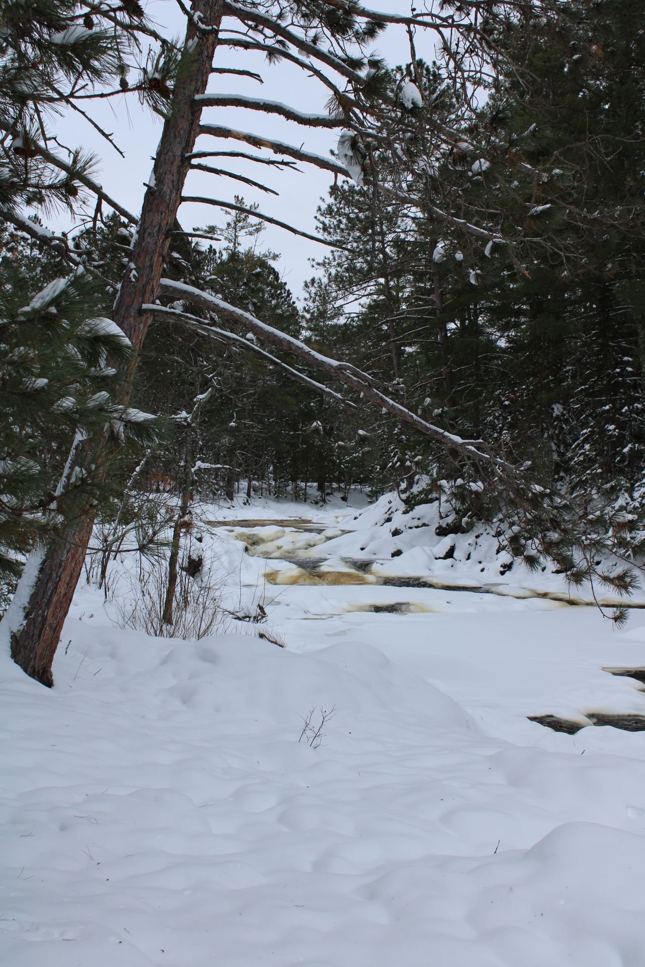
History at Two of Wisconsin State Parks: Hiking Amnicon Falls and Pattison
TIME: 10:00am - 3:00pm
Wisconsin’s State Parks celebrated their 125th anniversary in 2025. Join this field trip to learn about the history of Wisconsin’s State Park system by visiting the two parks closest to Duluth, Amnicon Falls and Pattison. You’ll have a chance to hear about their unique history, including the role of the Civilian Conservation Corps in the establishment of Pattison State Park, and how the movement of bedrock and glaciers have shaped the region’s topography. At the trip’s conclusion, you’ll be able to boast that you’ve seen the highest waterfalls in Wisconsin and the 4th highest waterfall east of the Rocky Mountains. Activities include a 3-mile round trip hike along a packed gravel path at Pattison and a 0.75 mile hike at Amnicon Falls. View more photos of
Pattison and
Amnicon.
Equipment Included
None
Things to Bring
None
Accessibility note for attendees with mobility disabilities
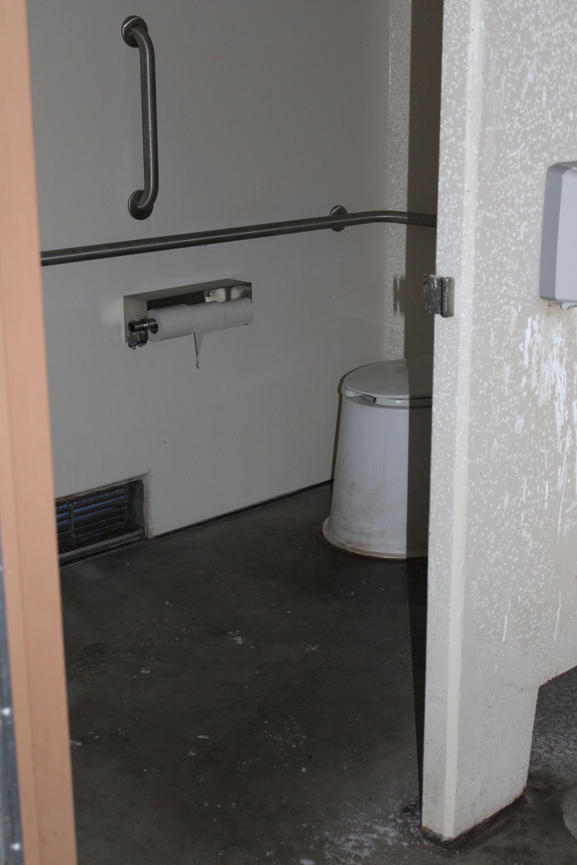
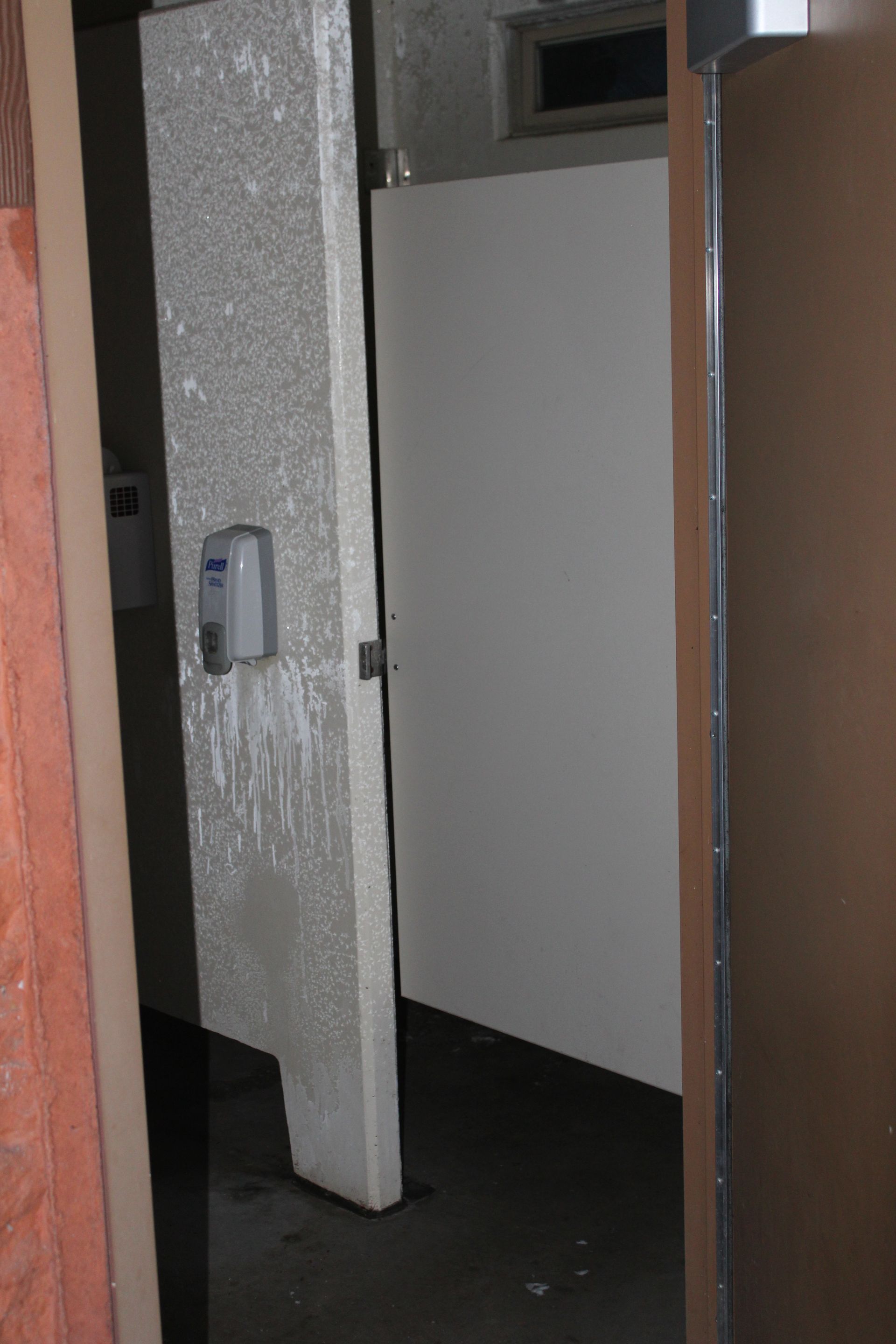
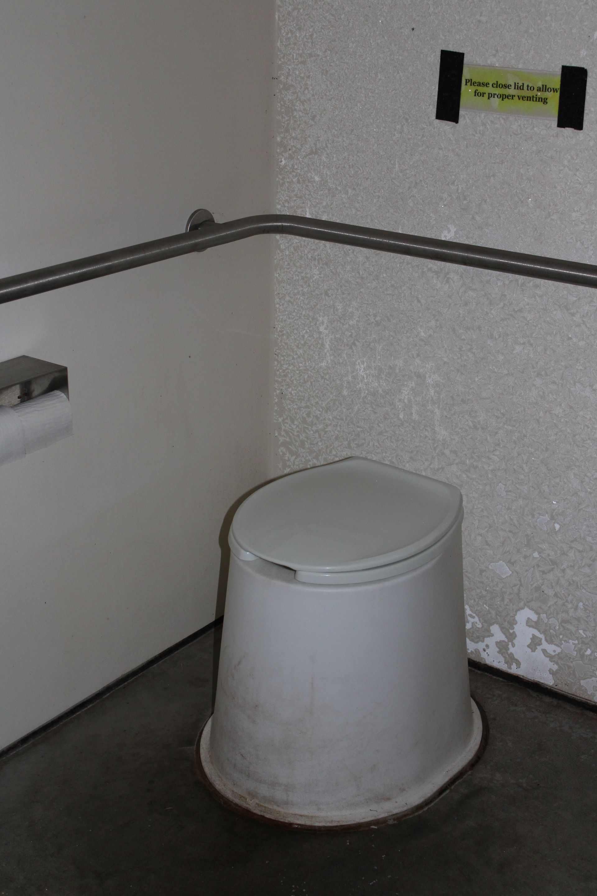
There are accessible paths at each of the falls areas at Pattison State Park. The trail around the waterfalls at Amnicon have steep inclines and declines that should be mostly accessible for a track chair. There are accessible bathrooms (pit toilets) at both Pattison and Amnicon Falls. Accessible transportation is provided if needed. Please make a note when you register under the accessibility needs question.
*Regarding stair photo: You don't have to go on the stairs as part of the main trail, it's an offshoot to a viewing platform closer to the Falls. You can get a good view of the Falls without going on the stairs.
Learning Objectives
- Explore the historical development of Wisconsin’s State Park system with a focus on the establishment and evolution of Amnicon Falls and Pattison State Parks.
- Examine the geological forces that shaped the region’s landscape, including the impacts of bedrock movement and glacial activity on northern Wisconsin’s topography and natural features.
- Recognize the cultural and conservation legacy of the Civilian Conservation Corps (CCC) and its role in building and preserving the state’s park infrastructure and natural heritage.
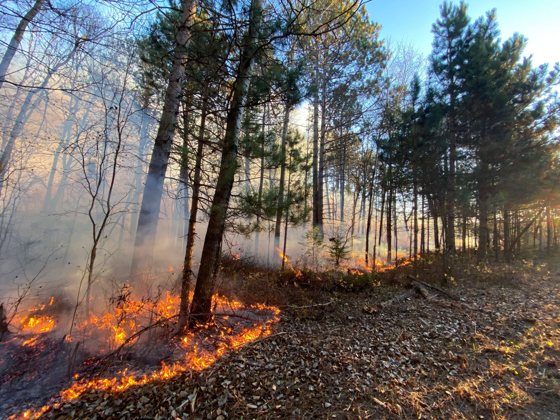
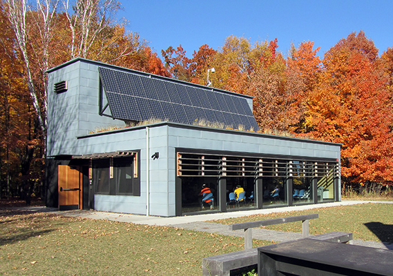
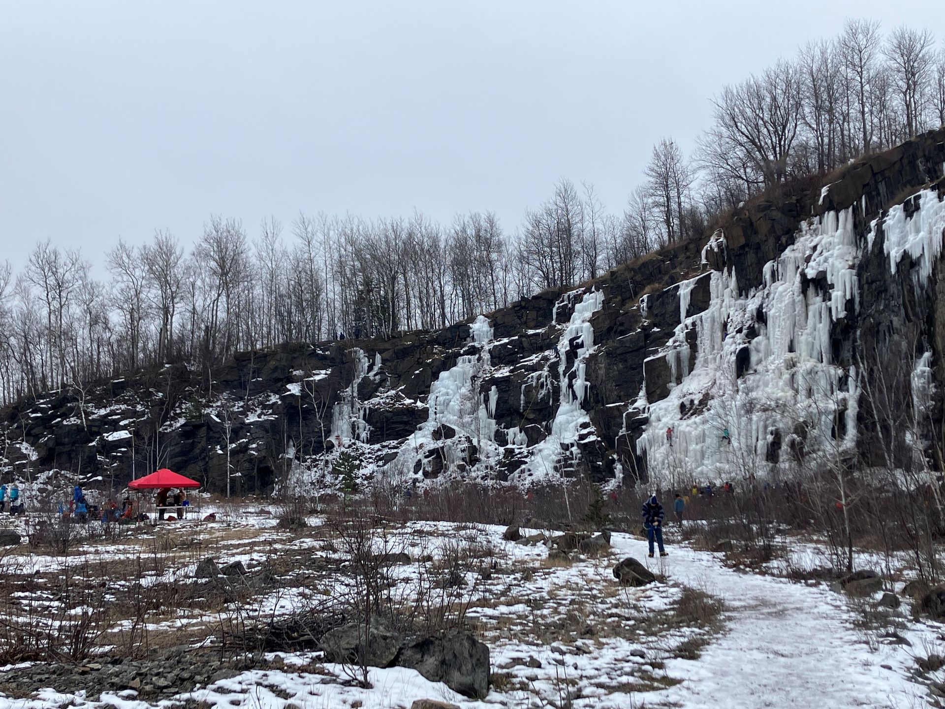
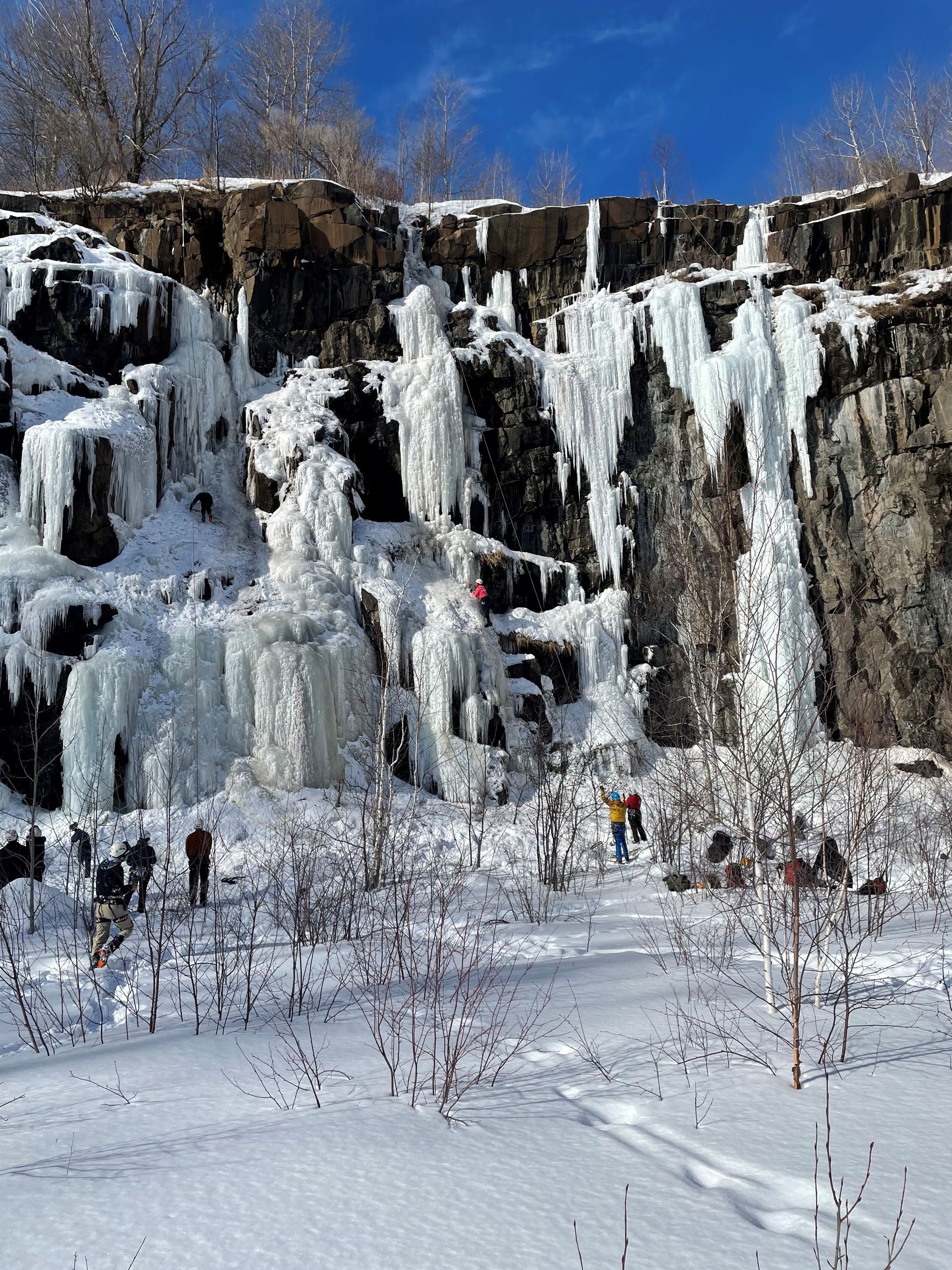
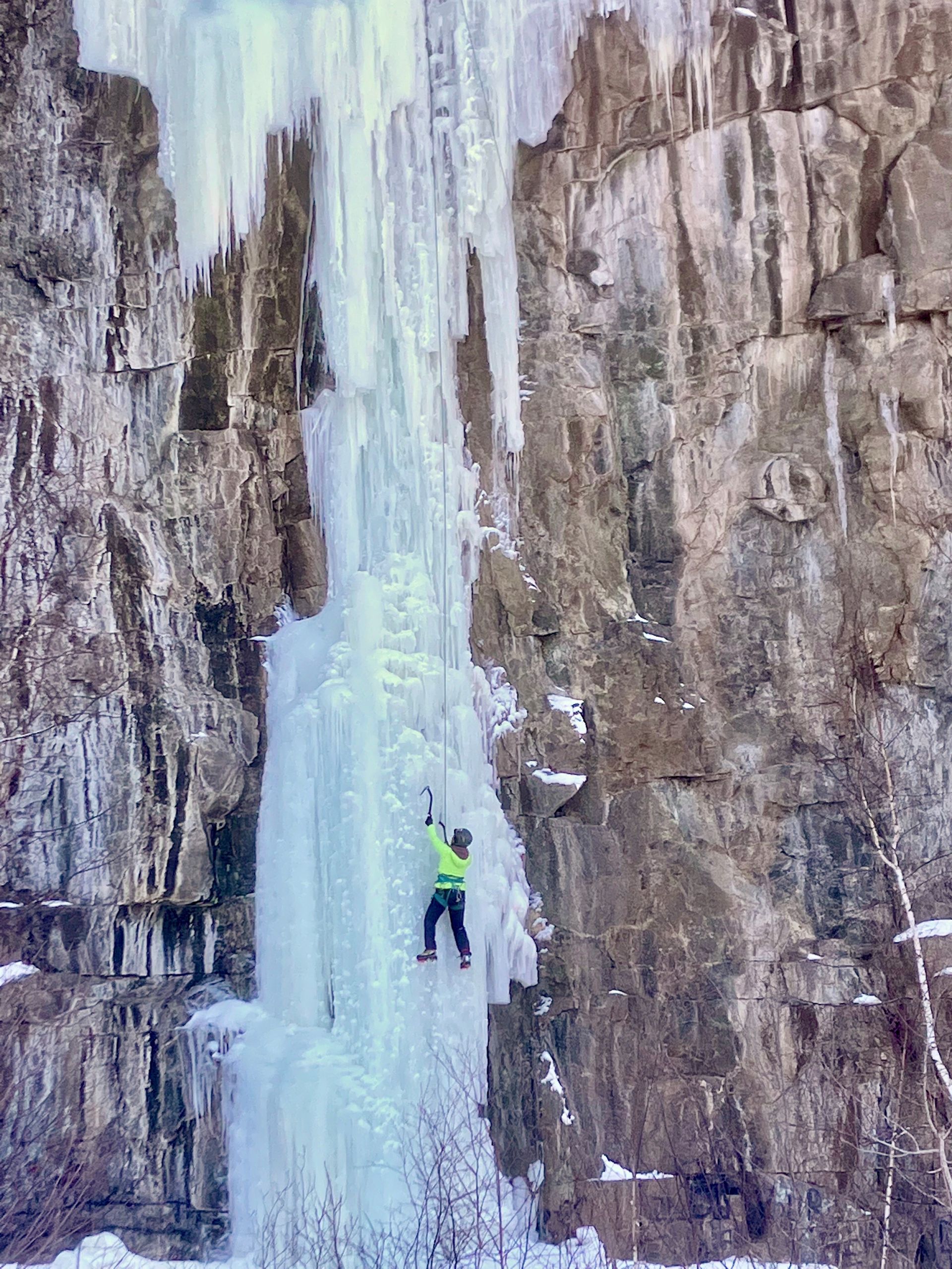
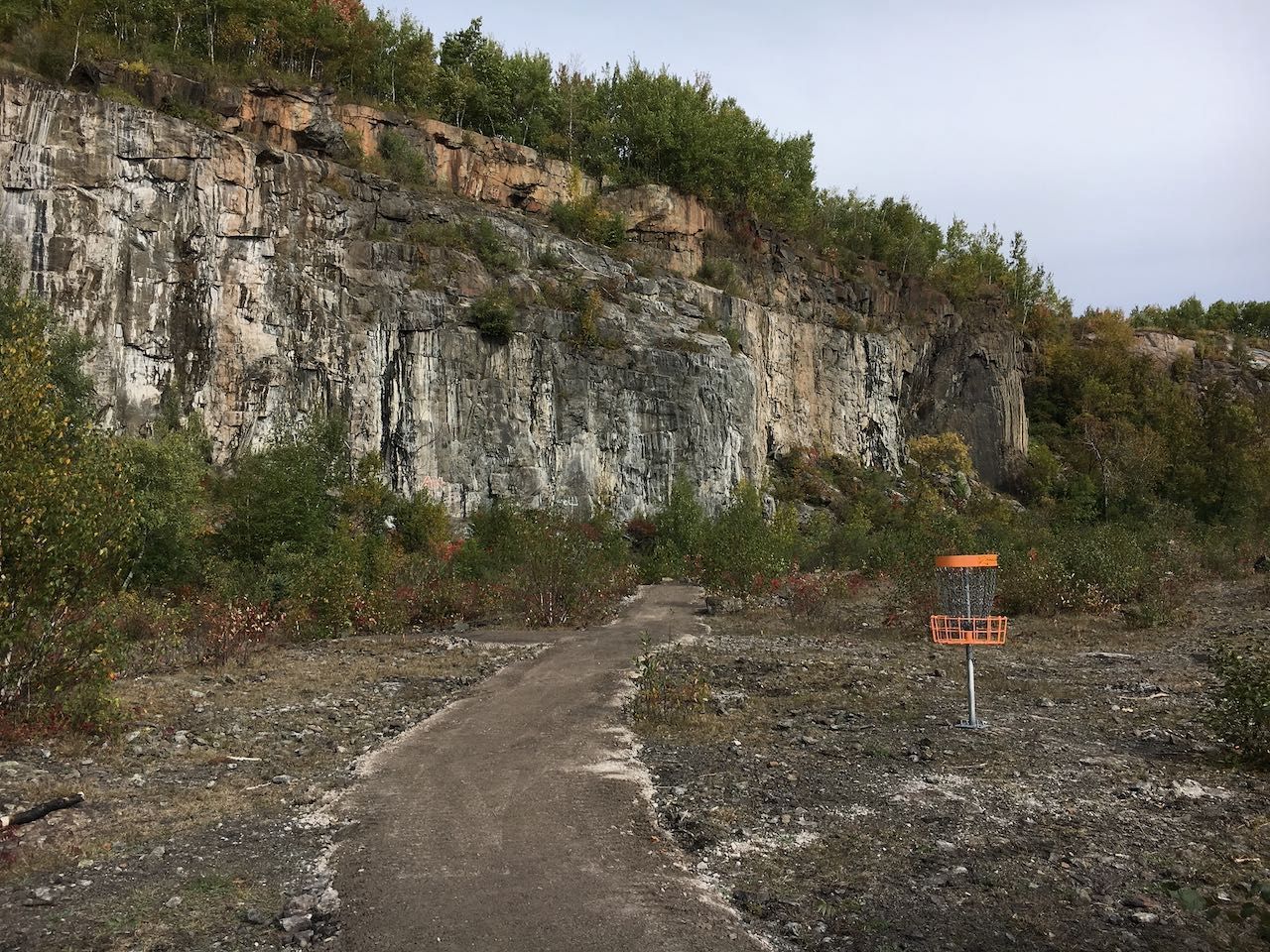
Re-Creation into Recreation: Growing Winter Outdoor Success through Snowmaking and Ice Farming
TIME: 10:30am - 3:00pm
In Duluth, the transformation of unused and abandoned urban spaces into regional and national destinations for winter recreation has been bolstered by inventive technologies. This field workshop will visit two Duluth “in city” sites for cold weather recreation where imagination, partnership, and creative innovation have resulted in revitalization, expanded opportunities, and climate resiliency. Snowmaking is the underpinning in the design of a world class nordic skiing facility at the recently constructed Grand Avenue Nordic Center at Spirit Mountain Recreation Area. At the same time, at nearby Quarry Park, a state-of-the-art ice farming operation for “growing” winter ice climbs is the cherry on top at this former industrial site and dumping ground, now transformed into Duluth’s newest city park.
Equipment Included
None
Things to Bring
None
Accessibility note for attendees with mobility disabilities
The Nordic Center story will be told at the Grand Avenue Chalet (restrooms available here) and along a mile of grassy ski trail. The Quarry Park segment requires hiking a crushed surface ADA access trail from parking lot (port-a-pottie located here) into the quarry amphitheater (approx 200 yards). Then across the quarry on a flat ADA loop trail and downhill several hundred feet on gravel road and a short stretch on trail to visit ice farm pumphouse. To observe ice farming distribution points up close (along with great view of Duluth harbor!) requires retracing route back up to quarry amphitheater and then undertaking a 3/4-mile rim trail (some rock and wood steps), which gains and then loses a total of 150 feet of elevation. For participants who would like to remain on the ADA trail at all times, there is the option of remaining on the quarry amphitheater loop trail and having amenities explained there (along with photos and some equipment present to aid explanations). Total ADA loop trail is approximately 1/4 mile. Accessible flush restrooms are available at the Grand Avenue Nordic Center at Spirit Mountain Recreation Area. Accessible transportation is provided if needed. Please make a note when you register under the accessibility needs question.
Learning Objectives
- Examine the Transformation of Former Industrial Spaces into Recreational Assets: Analyze how former industrial sites can be repurposed into sustainable outdoor recreation venues through strategic planning, vision, and collaboration between public and private entities.
- Evaluate the Economic, Environmental, and Social Impacts of Revitalization Projects: Assess how converting industrial “leftovers” into recreation-based amenities influences community identity, economic and tourism development, and long-term ecological stewardship.
- Learn about State-of-the-art Snowmaking and Ice Farming Technologies: Delve into how/why the systems used in Duluth were chosen, designed, and constructed, including details of how they operate, what they can produce, operating costs, and resources consumed.
- Explore Climate Resiliency through Innovation: Investigate the use of technologies such as snowmaking and ice farming for adapting to climate variability, expanding user possibilities, extending recreational seasons, and supporting a year-round outdoor economy.
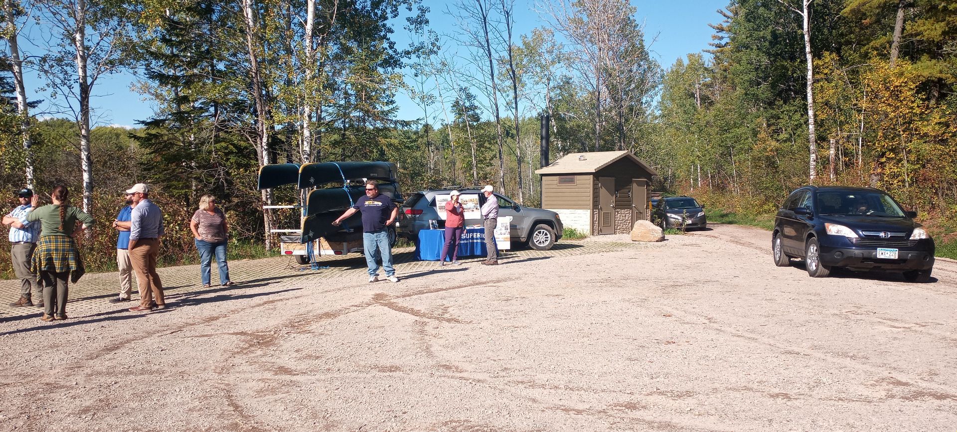
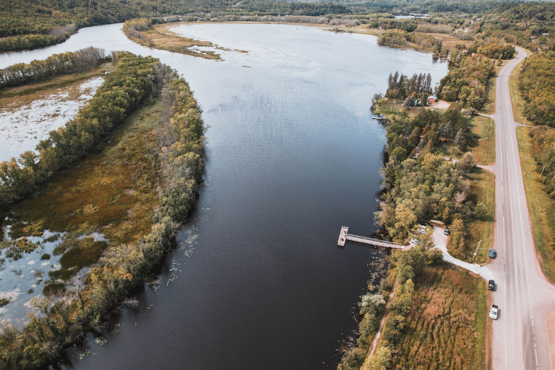
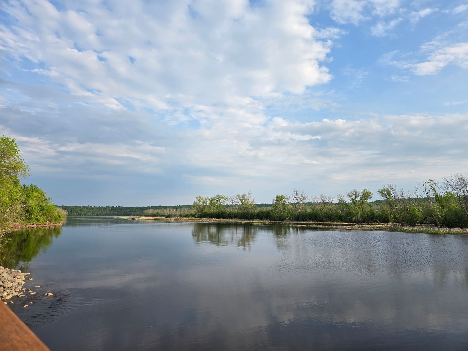
Get to Know the Superior Municipal Forest by Paddling the Pokegama (“Poh-Kay-Gah-Ma”)
TIME: 12:00pm - 4:00pm
The Superior Municipal Forest, one of the nation’s largest forests in a city, offers a wealth of recreational opportunities that have been enhanced and expanded through partnership and collaboration. Our speakers will share their insights about the local ecology and cultural history as well as practical approaches to managing high-use waterfront parks. Participants will get the chance to take a short, beginner-friendly paddle around one of these success stories - the Pokegama River. Other topics include an overview of Area of Concern work that is restoring the Estuary for recreation from wild rice to the National Water Trail designation to long-term monitoring. Attendees will be sharing canoes with 3 attendees per canoe. Beginner paddlers are welcome (no experience necessary)!
Equipment Included
Canoes, paddles, and PFDs (personal flotation devices) will be provided by the Lake Superior National Estuarine Research Reserve, though participants are welcome to bring their own PFDs.
Things to Bring
Attendees should dress appropriately for paddling conditions in cold weather. Recommended gear includes: minimum of 64 ounces of water, sunglasses / eye glasses with retaining strap, sunscreen, warm hat, sun hat, warm gloves, wool socks, shoes that we will try to keep dry, wind breaker layer, a change of warm dry clothes to pack in a dry bag in case of an unexpected spill in the river, and lots of layers to stay warm and comfortable on the water. You might also want to bring a thermos of your favorite hot (and sugary) beverage. If you get chilly, a sugary drink or snack can help your body to warm you up).
Accessibility note for attendees with mobility disabilities
The boat launch does have a stabilizer, but doesn't have handles to grab on to. There is a slight slope down to the dock & launch. There are no stairs to the launch or step up on to the dock. The parking lot is dirt and the path to the launch is gravel.
Learn more here. Pit toilet restrooms are available. The accessibility of the pit toilets is unknown at this time. Please email
candace@americantrails.orgif you need this information Accessible transportation is provided if needed. Please make a note when you register under the accessibility needs question.
Learning Objectives
- Examine the ecological and cultural significance of the Superior Municipal Forest and understand how urban forests contribute to recreation, conservation, and community engagement.
- Evaluate collaborative management strategies used to enhance and maintain high-use waterfront parks and recreational areas through partnerships and restoration initiatives.
- Explore restoration and monitoring efforts within the St. Louis River Estuary, including wild rice rehabilitation, National Water Trail designation, and long-term ecological stewardship practices.